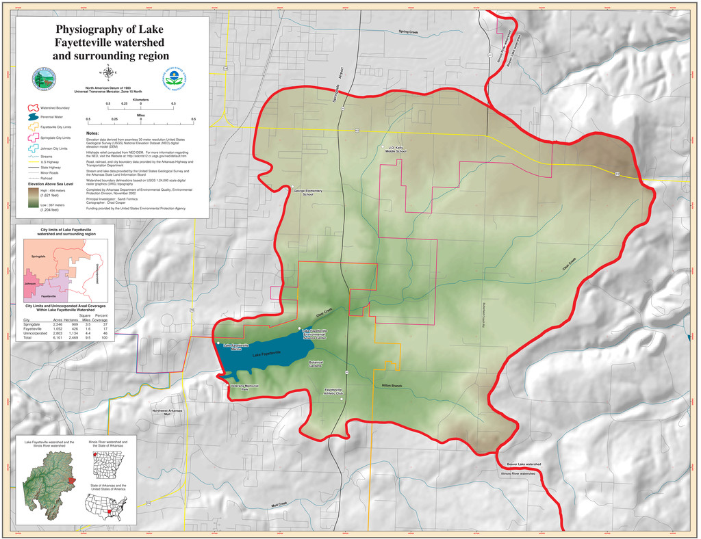
399400 399400 400400 400400 401400 401400 402400 402400 403400 403400 404400 404400 3997900 3997900 3998900 3998900 3999900 3999900 4000900 4000900 4001900 4001900 4002900 4002900 4003900 4003900 Physiography of Lake Fayetteville watershed and surrounding region North American Datum of 1983 Universal Transverse Mercator, Zone 15 North 0.5 0 0.5 0.25 Kilometers 0.5 0 0.5 0.25 Miles Watershed Boundary Perennial Water Fayetteville City Limits Springdale City Limits Johnson City Limits Streams U.S Highway State Highway Minor Roads Railroad Elevation Above Sea Level High : 494 meters Low : 367 meters Notes: Elevation data derived from seamless 30-meter resolution United States Geological Survey (USGS) National Elevation Dataset (NED) digital elevation model (DEM) Hillshade relief computed from NED DEM. For more information regarding the NED, visit the Website at: http://edcnts12.cr.usgs.gov/ned/default.htm Road, railroad, and city boundary data provided by the Arkansas Highway and Transportation Department Stream and lake data provided by the United States Geological Survey and the Arkansas State Land Information Board Watershed boundary delineations based on USGS 1:24,000 scale digital raster graphics (DRG) topography Completed by Arkansas Department of Environmental Quality, Environmental Protection Division, November 2002 Principal Investigator: Sandi Formica Cartographer: Chad Cooper Funding provided by the United States Environmental Protection Agency Illinois River watershed and the State of Arkansas State of Arkansas and the United States of America Lake Fayetteville watershed and the Illinois River watershed Lake Fayetteville Beaver Lake watershed Beaver Lake watershed Illinois River watershed Illinois River watershed Illinois River watershed Illinois River watershed Beaver Lake watershed Beaver Lake watershed Butterfield Coach Rd ! ( 265 I ½ I ¢ I ¢ ! ( 265s ! ( 265 I ¢ City limits of Lake Fayetteville watershed and surrounding region Springdale Fayetteville Johnson Unincorporated K × Mud Creek ! ! City Limits and Unincorporated Areal Coverages Within Lake Fayetteville Watershed Clear Creek C lear C reek Hilton Branch Fayetteville Athletic Club Fayetteville Athletic Club Botanical Gardens Botanical Gardens ! ( ! ( Lake Fayetteville Marina Lake Fayetteville Marina ! ( Lake Fayetteville Environmental Science Center Lake Fayetteville Environmental Science Center ! ( Veterans Memorial Park Veterans Memorial Park ! ( George Elementary School George Elementary School ! ( J.O. Kelly Middle School J.O. Kelly Middle School Springdale Airport Springdale Airport Spring Creek Northwest Arkansas Mall Northwest Arkansas Mall Square Percent City Acres Hectares Miles Coverage Springdale 2,246 909 3.5 37 Fayetteville 1,052 426 1.6 17 Unincorporated 2,803 1,134 4.4 46 Total 6,101 2,469 9.5 100 (1,621 feet) (1,204 feet)