Product Sales Manager Ross Topol Full Stack Engineer Morgen Healy Principal Bill Johnson Carpe Geo Evangelist Caitlin Schneider GIS Analyst Jennifer Sylvester Project Manager
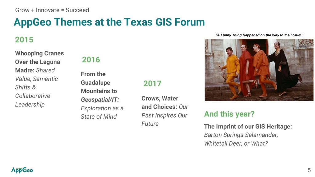
Over the Laguna Madre: Shared Value, Semantic Shifts & Collaborative Leadership 2015 From the Guadalupe Mountains to Geospatial/IT: Exploration as a State of Mind 2016 Crows, Water and Choices: Our Past Inspires Our Future 2017 Grow + Innovate = Succeed The Imprint of our GIS Heritage: Barton Springs Salamander, Whitetail Deer, or What? And this year? “A Funny Thing Happened on the Way to the Forum”
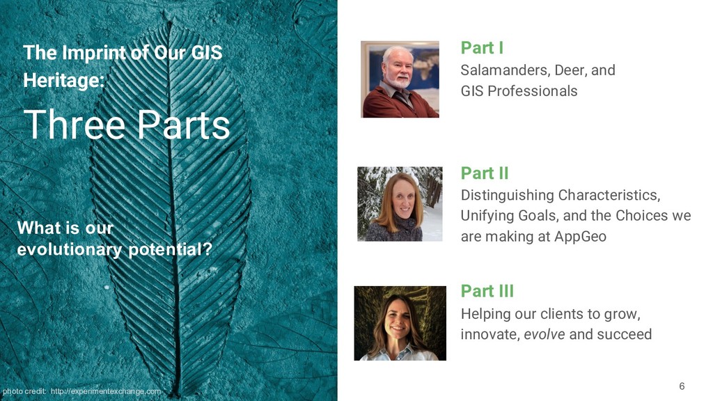
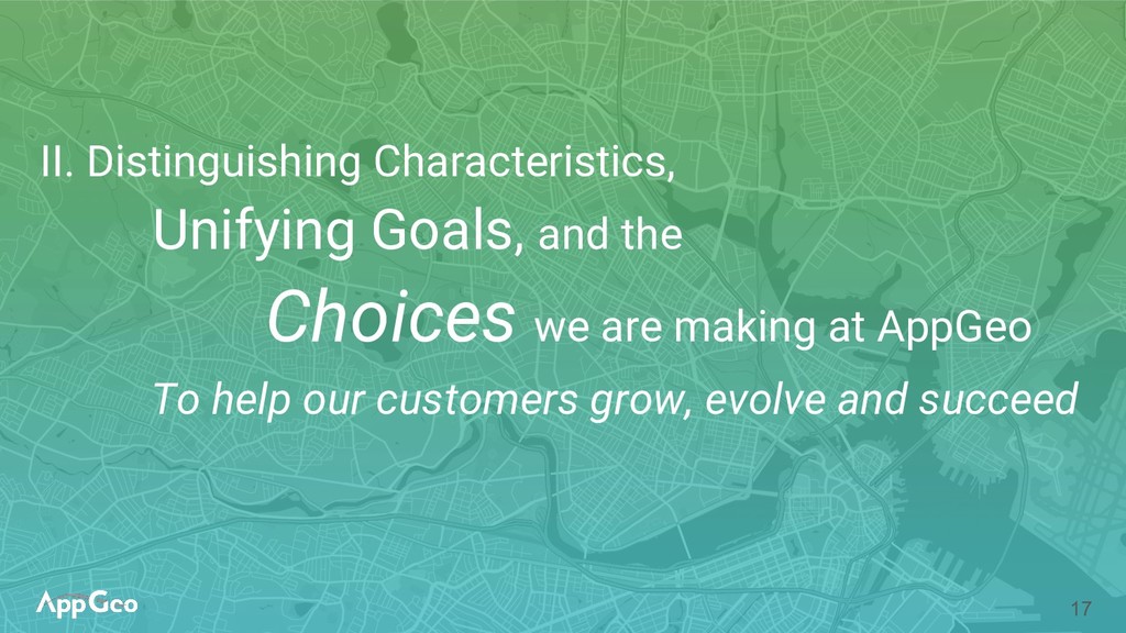
Unifying Goals, and the Choices we are making at AppGeo Part II Helping our clients to grow, innovate, evolve and succeed Part III Three Parts The Imprint of Our GIS Heritage: What is our evolutionary potential? photo credit: http://experimentexchange.com
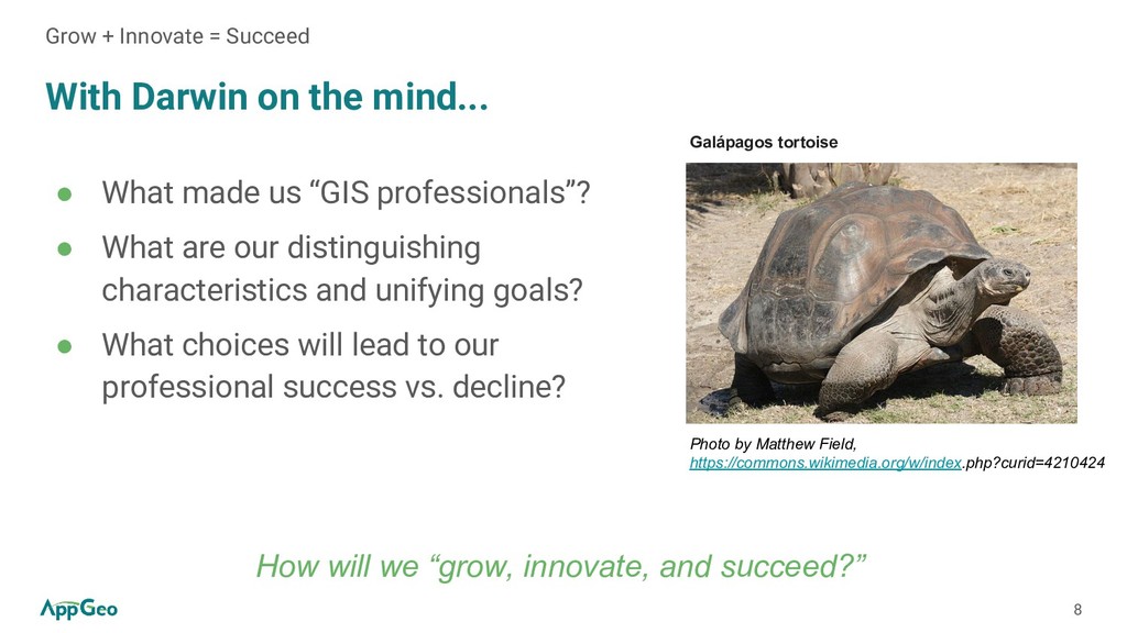
“GIS professionals”? • What are our distinguishing characteristics and unifying goals? • What choices will lead to our professional success vs. decline? Grow + Innovate = Succeed Photo by Matthew Field, https://commons.wikimedia.org/w/index.php?curid=4210424 Galápagos tortoise How will we “grow, innovate, and succeed?”
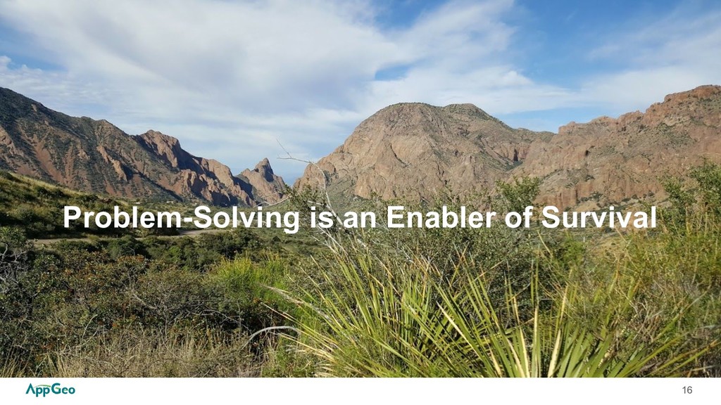
= Success • Goals emanate from needs • Goal-directed actions are aimed towards achieving a particular goal • Knowledge and awareness of cause-and-effect yields better outcomes for solving problems compared to operant conditioning Problem-Solving is an Enabler of Survival VS.
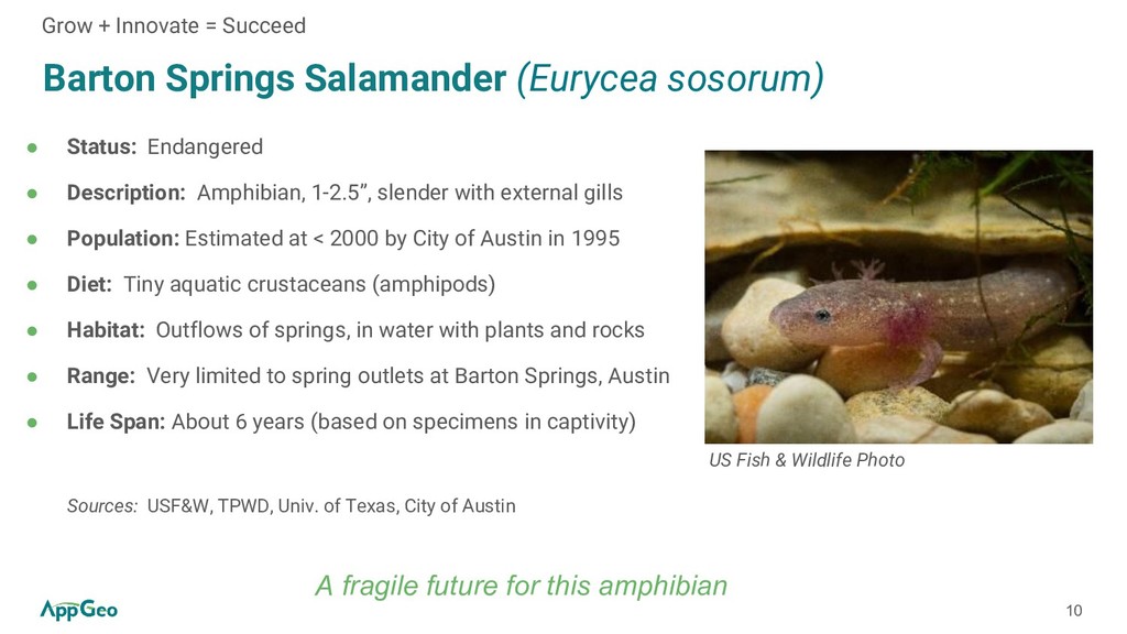
Description: Amphibian, 1-2.5”, slender with external gills • Population: Estimated at < 2000 by City of Austin in 1995 • Diet: Tiny aquatic crustaceans (amphipods) • Habitat: Outflows of springs, in water with plants and rocks • Range: Very limited to spring outlets at Barton Springs, Austin • Life Span: About 6 years (based on specimens in captivity) Sources: USF&W, TPWD, Univ. of Texas, City of Austin A fragile future for this amphibian Grow + Innovate = Succeed US Fish & Wildlife Photo
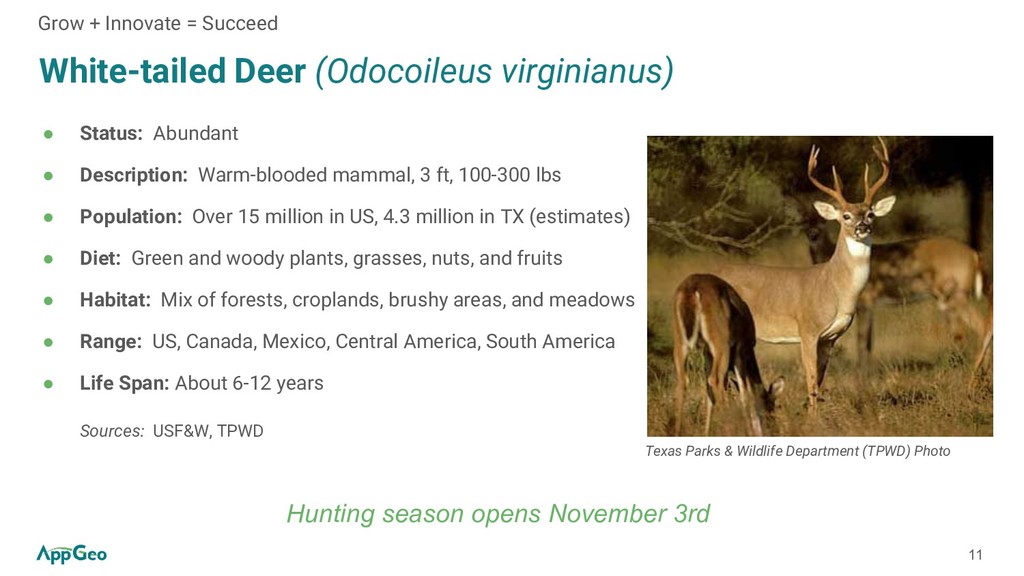
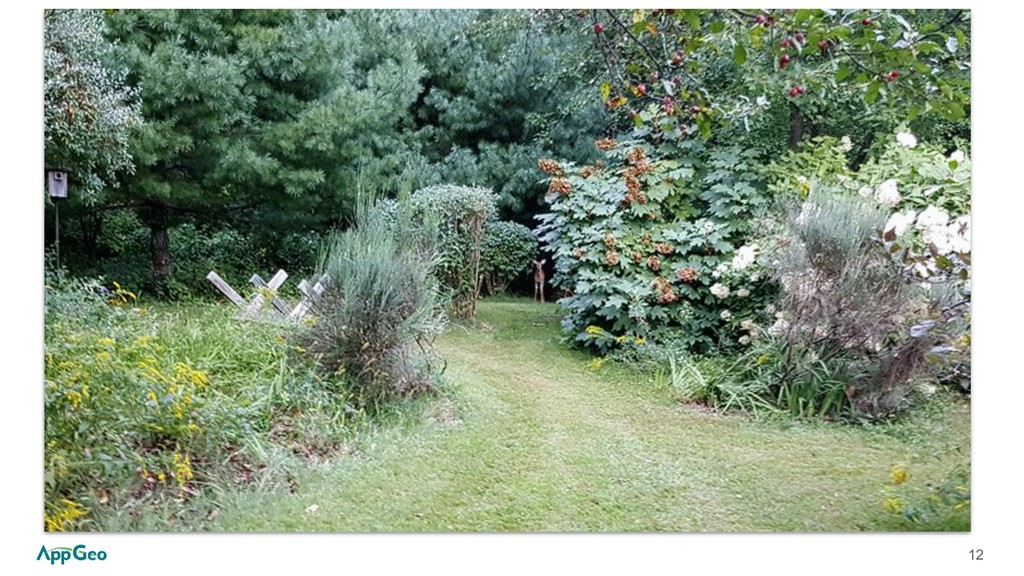
Warm-blooded mammal, 3 ft, 100-300 lbs • Population: Over 15 million in US, 4.3 million in TX (estimates) • Diet: Green and woody plants, grasses, nuts, and fruits • Habitat: Mix of forests, croplands, brushy areas, and meadows • Range: US, Canada, Mexico, Central America, South America • Life Span: About 6-12 years Sources: USF&W, TPWD Grow + Innovate = Succeed Texas Parks & Wildlife Department (TPWD) Photo Hunting season opens November 3rd
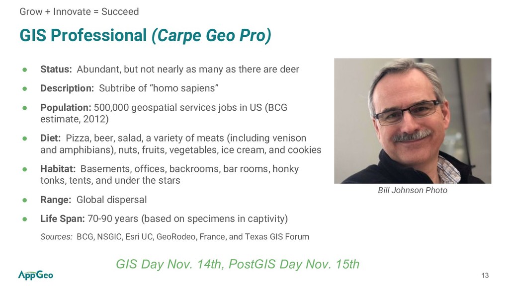
not nearly as many as there are deer • Description: Subtribe of “homo sapiens” • Population: 500,000 geospatial services jobs in US (BCG estimate, 2012) • Diet: Pizza, beer, salad, a variety of meats (including venison and amphibians), nuts, fruits, vegetables, ice cream, and cookies • Habitat: Basements, offices, backrooms, bar rooms, honky tonks, tents, and under the stars • Range: Global dispersal • Life Span: 70-90 years (based on specimens in captivity) Sources: BCG, NSGIC, Esri UC, GeoRodeo, France, and Texas GIS Forum Grow + Innovate = Succeed Bill Johnson Photo GIS Day Nov. 14th, PostGIS Day Nov. 15th
GIS industry is heading toward ubiquity, if it hasn’t already reached it.” Susan Smith, Editor of GISCafe • “Those who think that old school GIS with traditional sources will keep them competitive will begin dying.” Chris Tucker, Chairman of the American Geographical Society, Founder of MapStory • “We need to envision the future and participate in creating a geoscience-based foundation for our future. I call it societal GIS.” Jack Dangermond, Esri Founder and President Grow + Innovate = Succeed
a diverse amalgamation of different disciplines that have adopted and adapted similar tools and methods in ways that are often unorthodox, collaborative, and antidisciplinary -- this is a distinguishing characteristic • We may study different problem sets, but at some level they are all mappable on sharable geography -- this is a unifying goal • We can use causal knowledge and think about our alternatives, or be conditioned to make programmed decisions without thought of alternatives -- this is a choice Grow + Innovate = Succeed
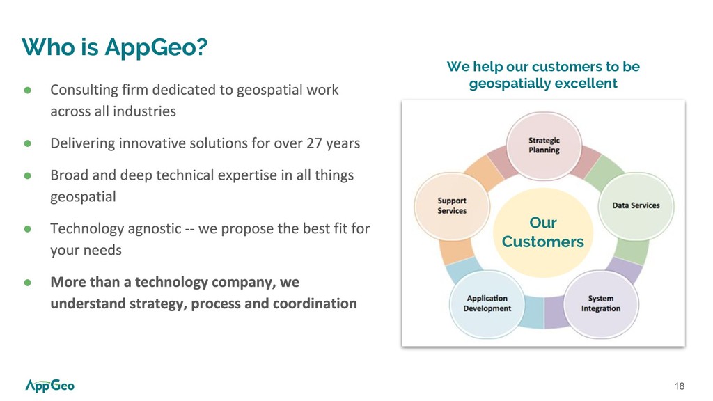
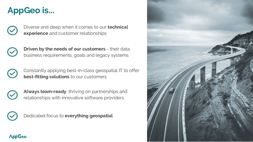
technical experience and customer relationships Driven by the needs of our customers - their data, business requirements, goals and legacy systems Constantly applying best-in-class geospatial IT to offer best-fitting solutions to our customers Always team-ready, thriving on partnerships and relationships with innovative software providers 20 Dedicated focus to everything geospatial
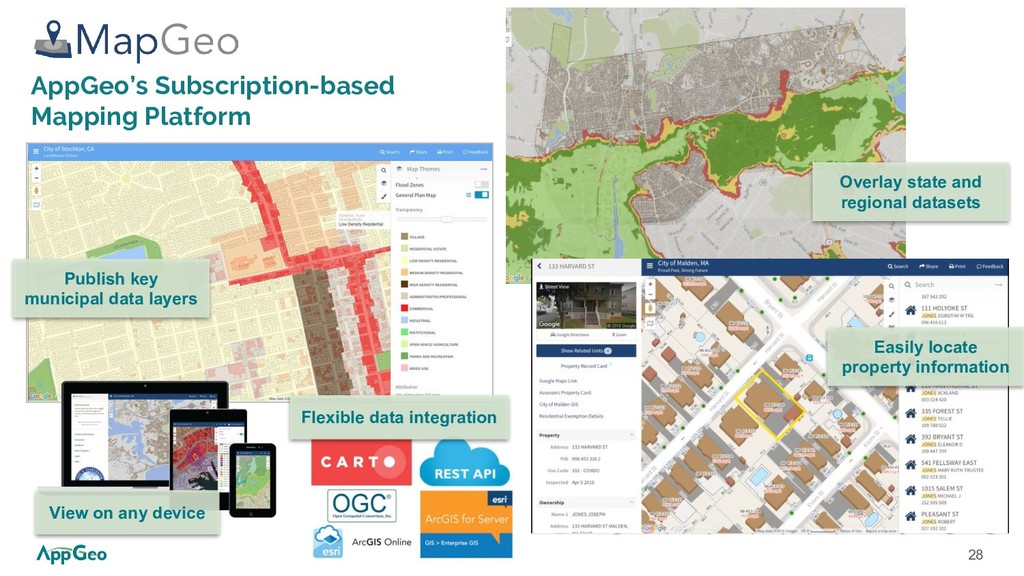
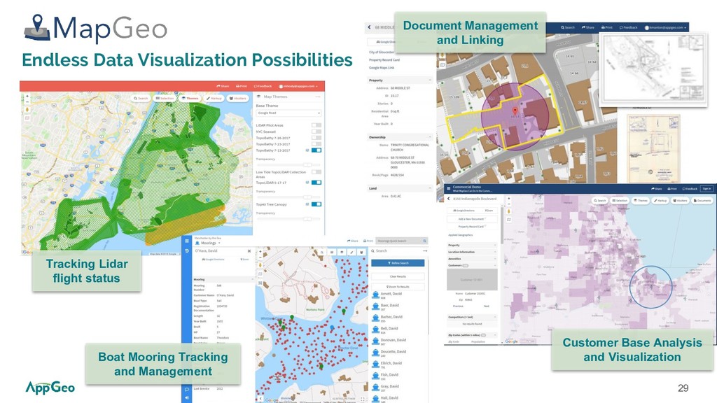
with growing GIS user base and an increased need for support • Expanding geospatial use cases and increasing application requirements • Growing need for curated information products and business intelligence tied to location
✔ Reduce risk and increase return on geospatial investments ✔ Easily access customer support ✔ Take the guesswork out of annual budgeting ✔ Create a steady stream of new ideas and solutions ✔ Expand awareness, use, and benefits
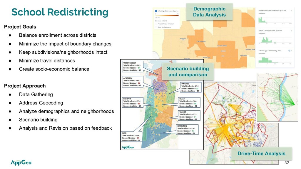
• Minimize the impact of boundary changes • Keep subdivisions/neighborhoods intact • Minimize travel distances • Create socio-economic balance Project Approach • Data Gathering • Address Geocoding • Analyze demographics and neighborhoods • Scenario building • Analysis and Revision based on feedback Demographic Data Analysis Drive-Time Analysis Scenario building and comparison
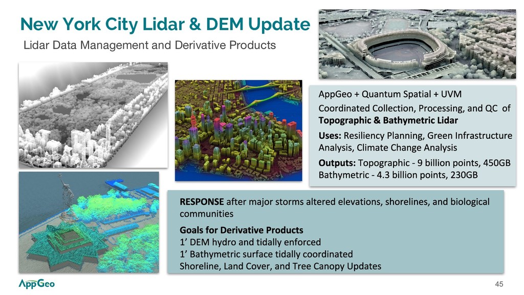
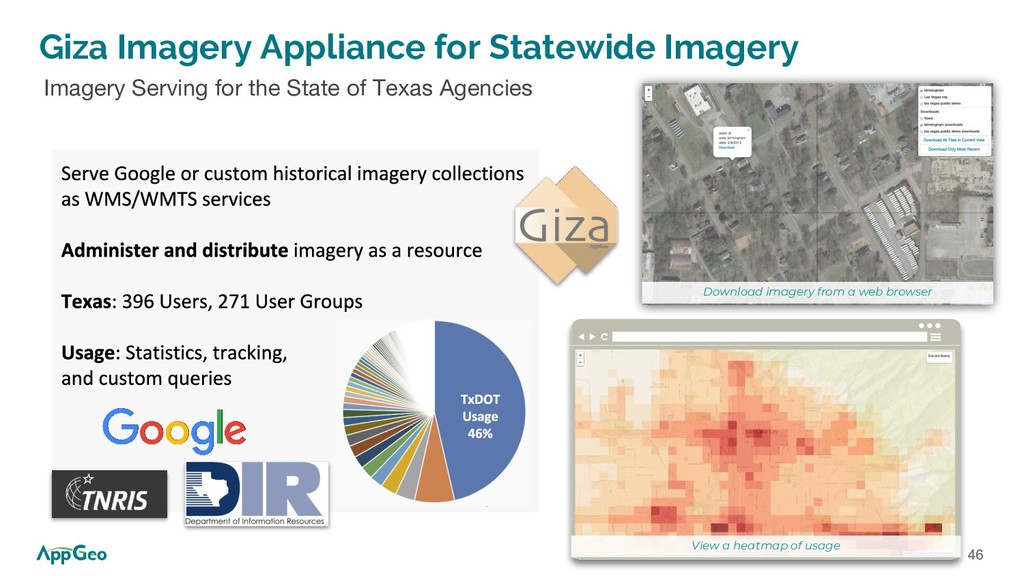
Analysis Custom Application Development API-Driven Data Dissemination Imagery Serving Lidar Data and Derivative Products How do we help our customers to grow and evolve?
Goal: replace TPWD legacy systems & SUPPORT MORE CUSTOMERS with the same amount of staff resources Project Outcome: TPWD has INCREASED customer participation in support of conservation and stewardship
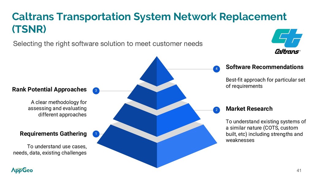
software solution to meet customer needs Market Research To understand existing systems of a similar nature (COTS, custom built, etc) including strengths and weaknesses 2 Software Recommendations Best-fit approach for particular set of requirements 4 Rank Potential Approaches A clear methodology for assessing and evaluating different approaches 3 Requirements Gathering To understand use cases, needs, data, existing challenges 1