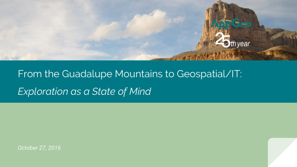
AppGeo Tech Demo: From the Guadalupe Mountains to Geospatial/IT: Exploration as a State of Mind
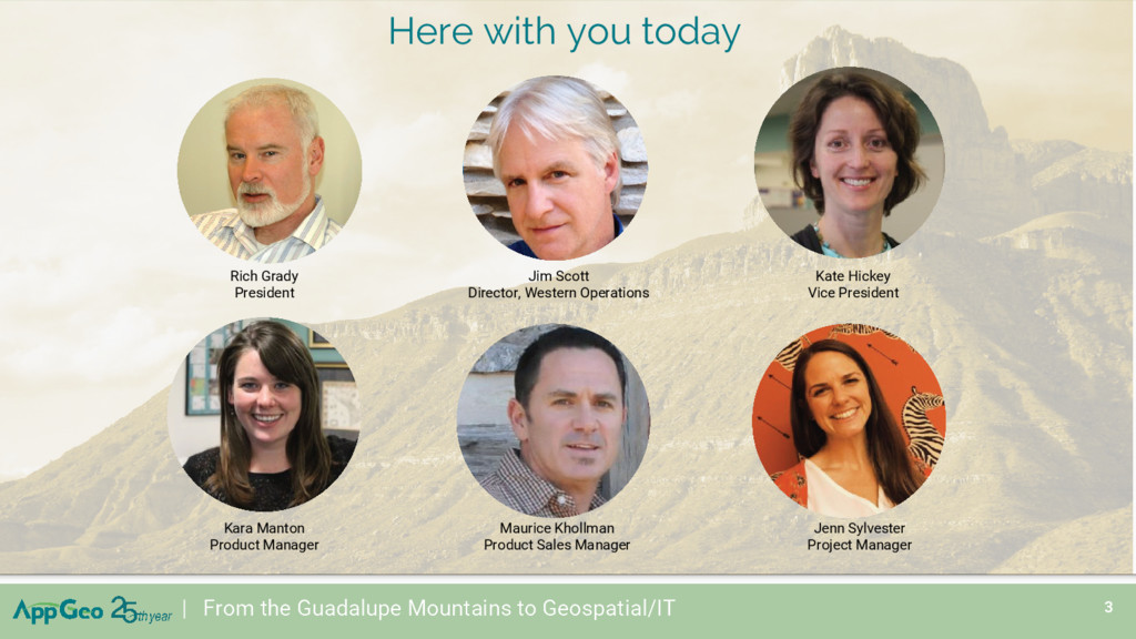
Rich Grady, President
Kate Hickey, Vice President
Jim Scott, Director, Western Operations
Kara Manton, Product Manager
Maurice Khollman, Product Sales Manager
Jenn Sylvester, Project Manager
you today Kara Manton Product Manager Maurice Khollman Product Sales Manager Jenn Sylvester Project Manager Jim Scott Director, Western Operations Rich Grady President Kate Hickey Vice President
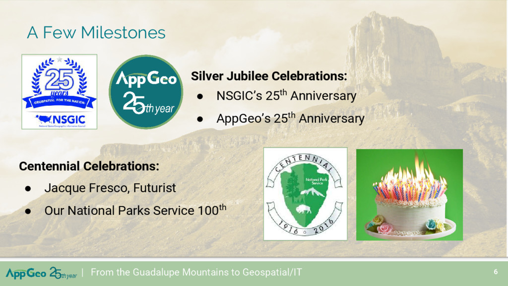
Service 100th | From the Guadalupe Mountains to Geospatial/IT 6 Silver Jubilee Celebrations: • NSGIC’s 25th Anniversary • AppGeo’s 25th Anniversary A Few Milestones
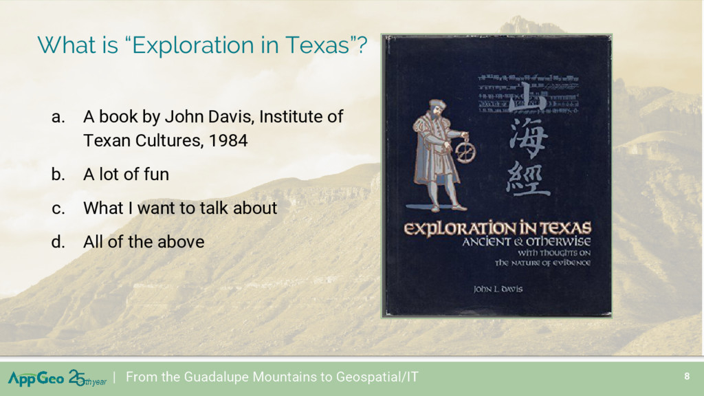
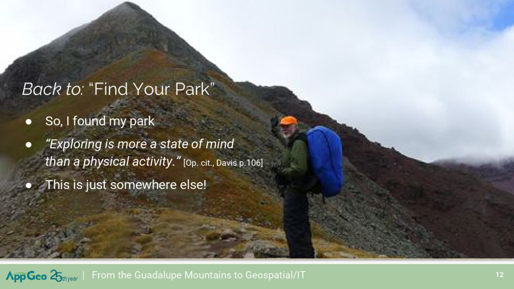
John Davis, Institute of Texan Cultures, 1984 b. A lot of fun c. What I want to talk about d. All of the above | From the Guadalupe Mountains to Geospatial/IT
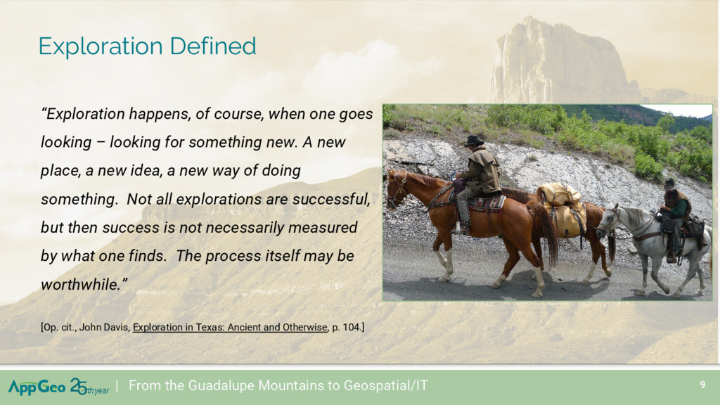
looking – looking for something new. A new place, a new idea, a new way of doing something. Not all explorations are successful, but then success is not necessarily measured by what one finds. The process itself may be worthwhile.” [Op. cit., John Davis, Exploration in Texas: Ancient and Otherwise, p. 104.] | From the Guadalupe Mountains to Geospatial/IT
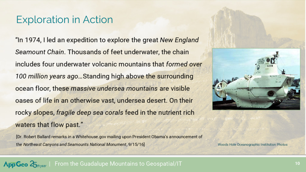
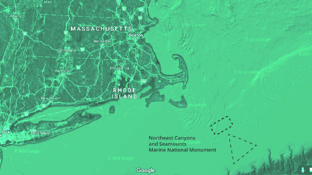
to explore the great New England Seamount Chain. Thousands of feet underwater, the chain includes four underwater volcanic mountains that formed over 100 million years ago…Standing high above the surrounding ocean floor, these massive undersea mountains are visible oases of life in an otherwise vast, undersea desert. On their rocky slopes, fragile deep sea corals feed in the nutrient rich waters that flow past.” | From the Guadalupe Mountains to Geospatial/IT [Dr. Robert Ballard remarks in a Whitehouse.gov mailing upon President Obama’s announcement of the Northeast Canyons and Seamounts National Monument, 9/15/16] Woods Hole Oceanographic Institution Photos
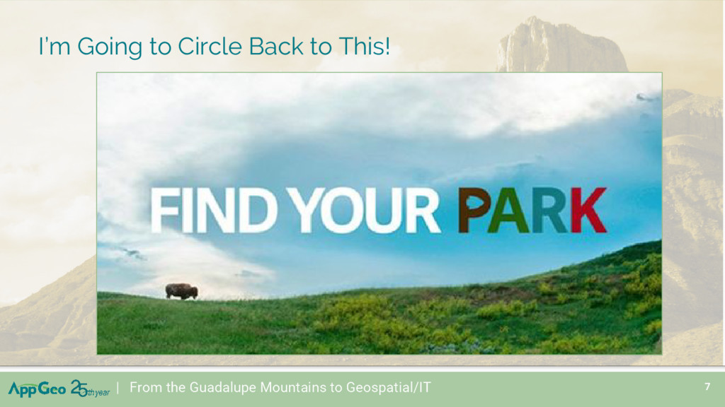
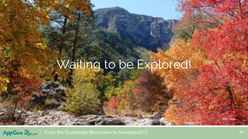
more a state of mind than a physical activity.” [Op. cit., Davis p.106] • This is just somewhere else! Back to: “Find Your Park” | From the Guadalupe Mountains to Geospatial/IT
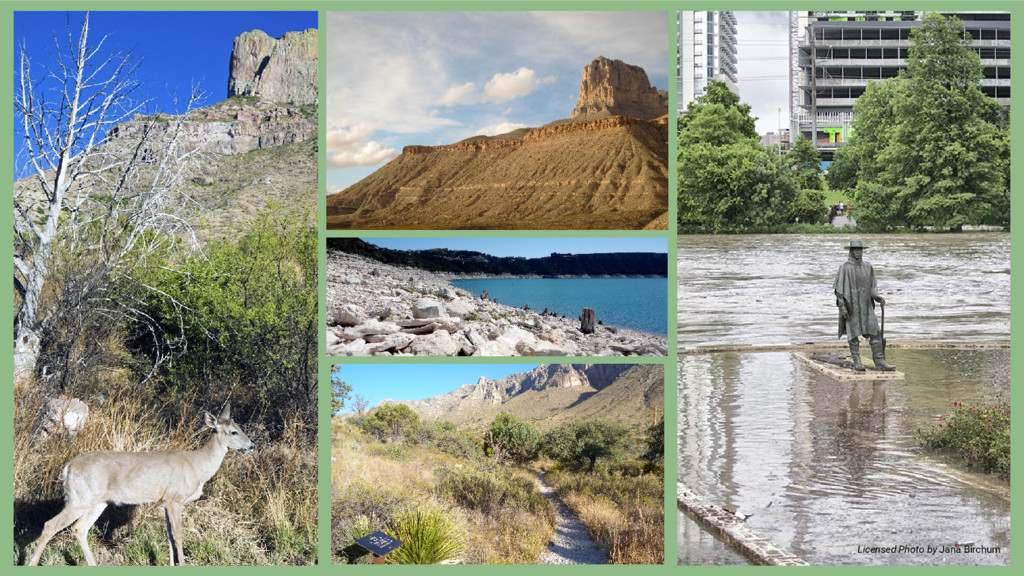
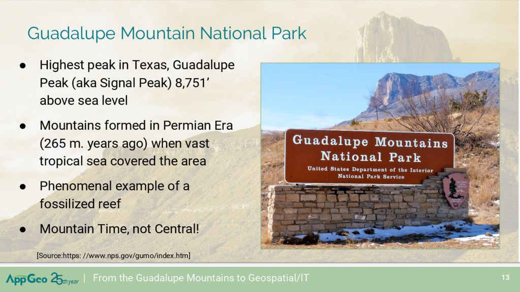
Peak) 8,751’ above sea level • Mountains formed in Permian Era (265 m. years ago) when vast tropical sea covered the area • Phenomenal example of a fossilized reef • Mountain Time, not Central! [Source:https: //www.nps.gov/gumo/index.htm] | From the Guadalupe Mountains to Geospatial/IT Guadalupe Mountain National Park
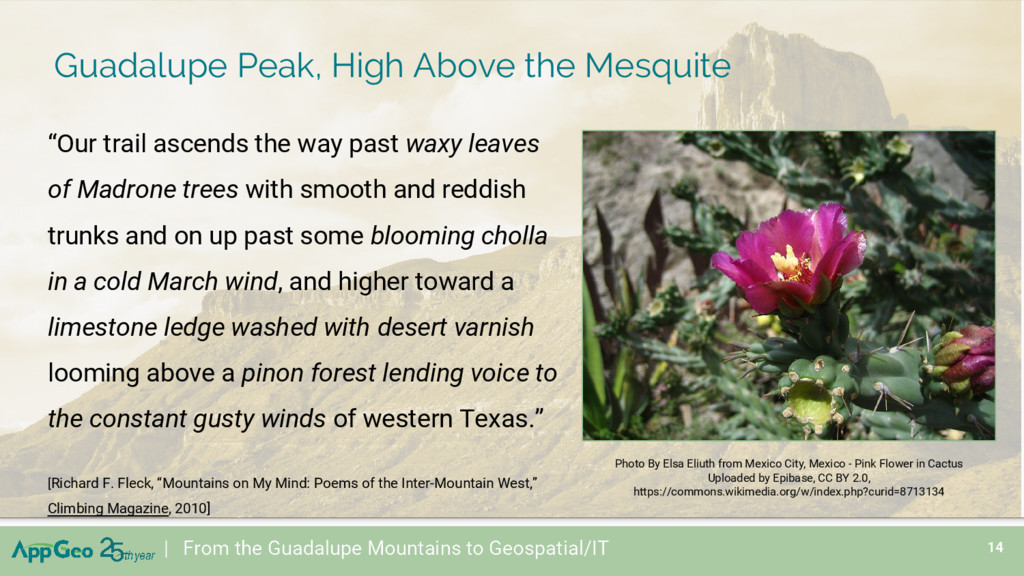
Madrone trees with smooth and reddish trunks and on up past some blooming cholla in a cold March wind, and higher toward a limestone ledge washed with desert varnish looming above a pinon forest lending voice to the constant gusty winds of western Texas.” [Richard F. Fleck, “Mountains on My Mind: Poems of the Inter-Mountain West,” Climbing Magazine, 2010] | From the Guadalupe Mountains to Geospatial/IT Photo By Elsa Eliuth from Mexico City, Mexico - Pink Flower in Cactus Uploaded by Epibase, CC BY 2.0, https://commons.wikimedia.org/w/index.php?curid=8713134 Guadalupe Peak, High Above the Mesquite
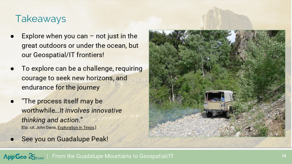
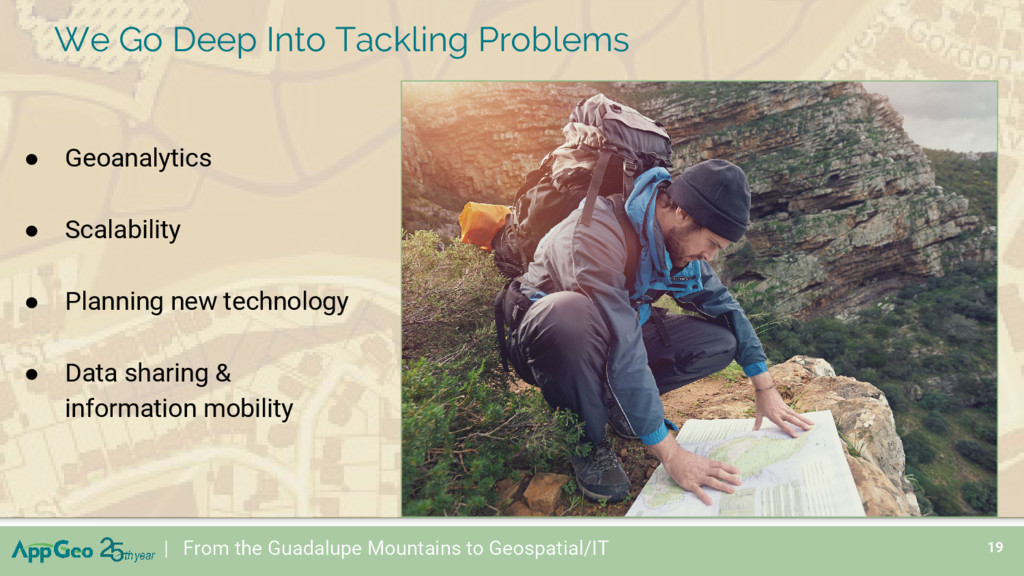
the great outdoors or under the ocean, but our Geospatial/IT frontiers! • To explore can be a challenge, requiring courage to seek new horizons, and endurance for the journey • “The process itself may be worthwhile…It involves innovative thinking and action.” [Op. cit, John Davis, Exploration in Texas.] • See you on Guadalupe Peak! | From the Guadalupe Mountains to Geospatial/IT Takeaways
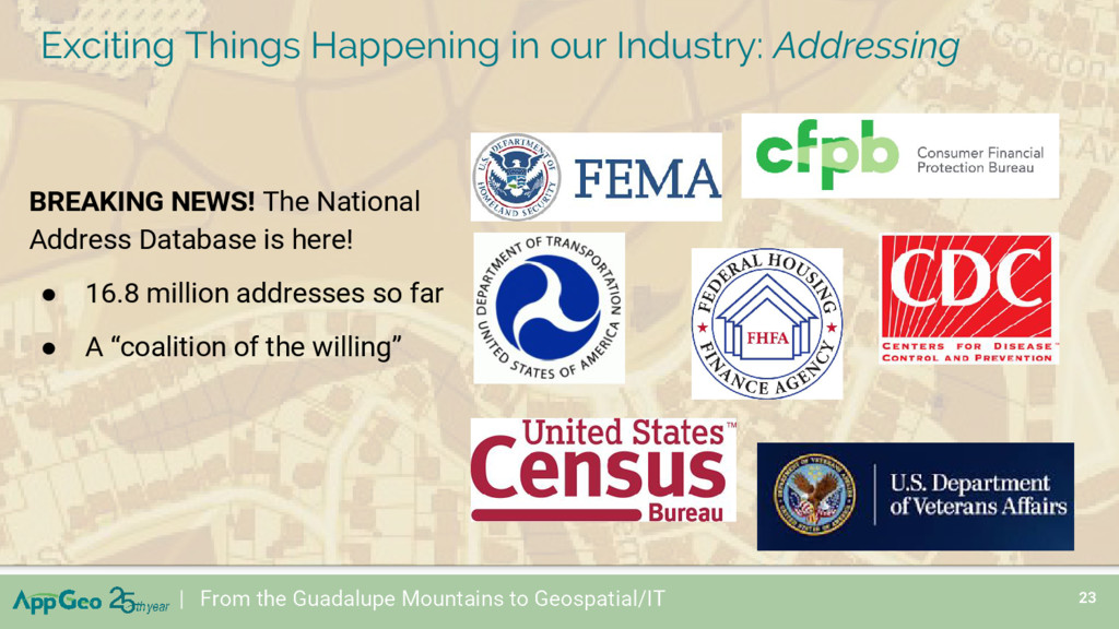
16.8 million addresses so far • A “coalition of the willing” | From the Guadalupe Mountains to Geospatial/IT Exciting Things Happening in our Industry: Addressing
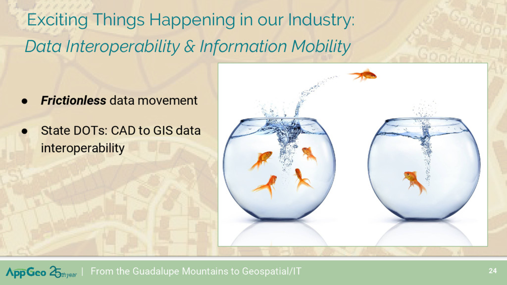
GIS data interoperability | From the Guadalupe Mountains to Geospatial/IT Exciting Things Happening in our Industry: Data Interoperability & Information Mobility
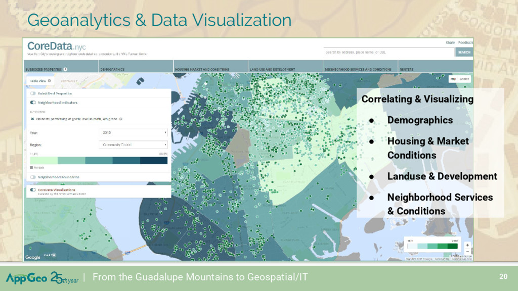
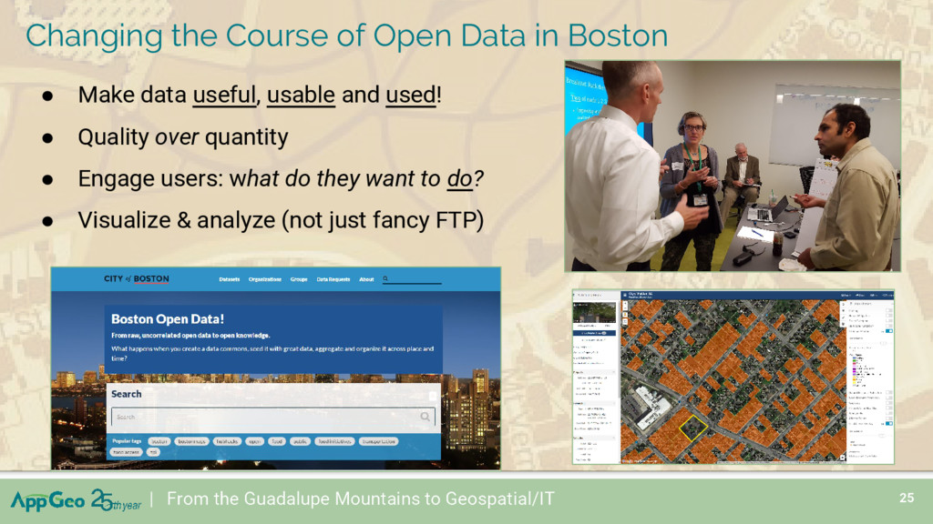
over quantity • Engage users: what do they want to do? • Visualize & analyze (not just fancy FTP) | From the Guadalupe Mountains to Geospatial/IT Changing the Course of Open Data in Boston
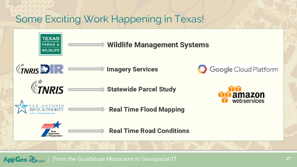
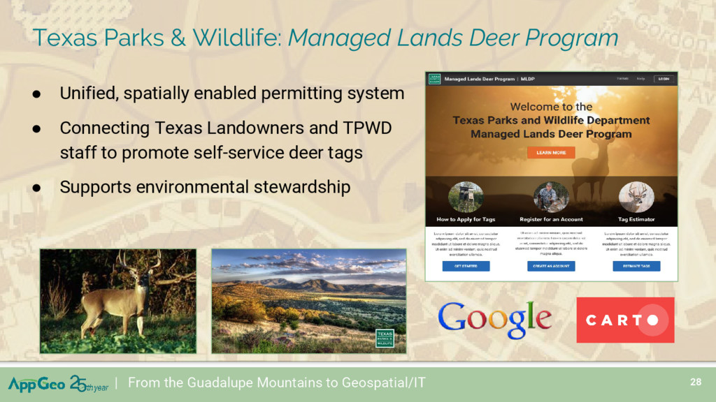
From the Guadalupe Mountains to Geospatial/IT • Unified, spatially enabled permitting system • Connecting Texas Landowners and TPWD staff to promote self-service deer tags • Supports environmental stewardship
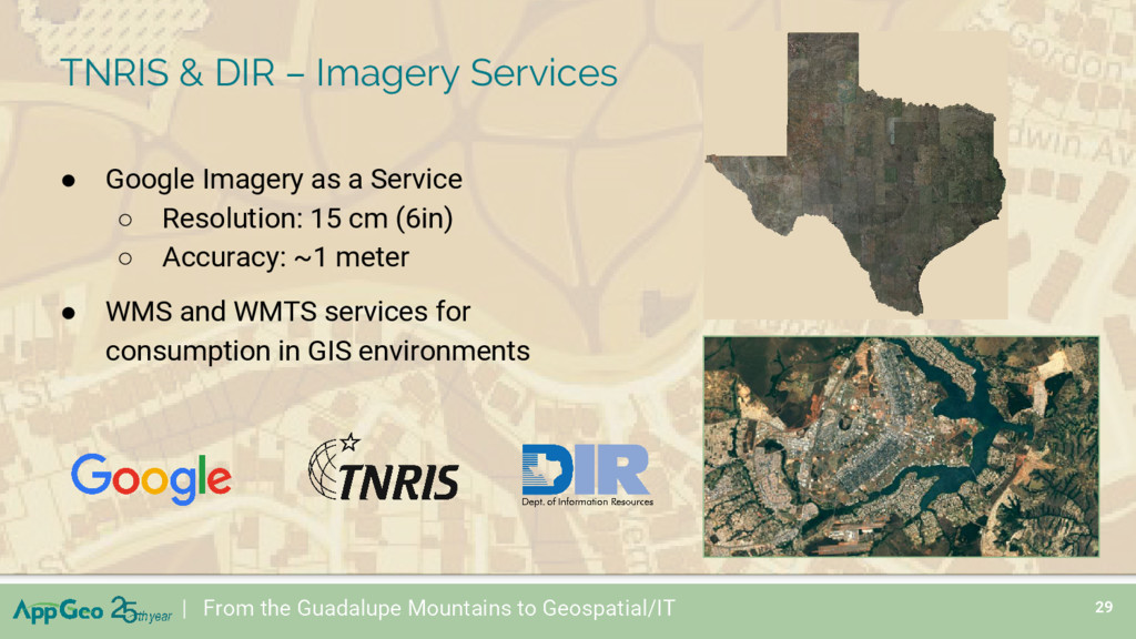
Guadalupe Mountains to Geospatial/IT • Google Imagery as a Service ◦ Resolution: 15 cm (6in) ◦ Accuracy: ~1 meter • WMS and WMTS services for consumption in GIS environments
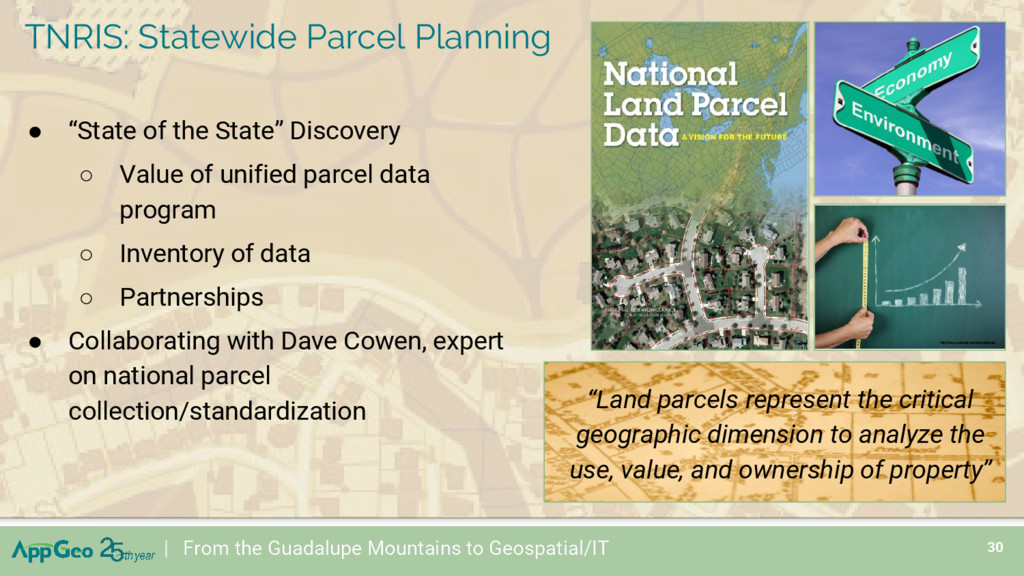
of the State” Discovery ◦ Value of unified parcel data program ◦ Inventory of data ◦ Partnerships • Collaborating with Dave Cowen, expert on national parcel collection/standardization TNRIS: Statewide Parcel Planning “Land parcels represent the critical geographic dimension to analyze the use, value, and ownership of property”
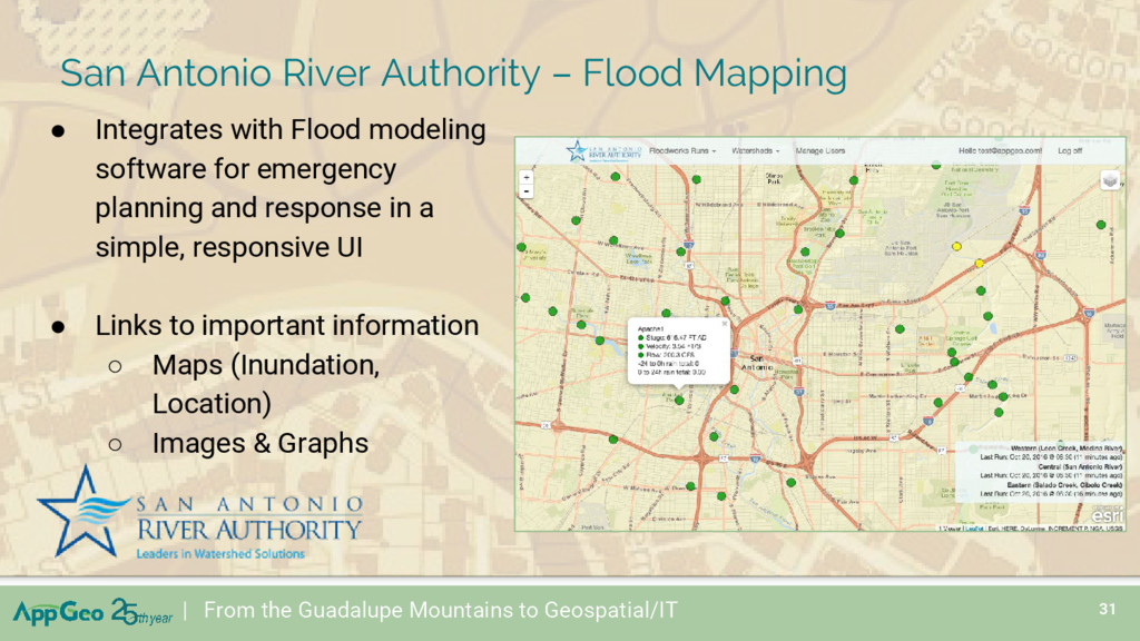
with Flood modeling software for emergency planning and response in a simple, responsive UI • Links to important information ◦ Maps (Inundation, Location) ◦ Images & Graphs San Antonio River Authority – Flood Mapping
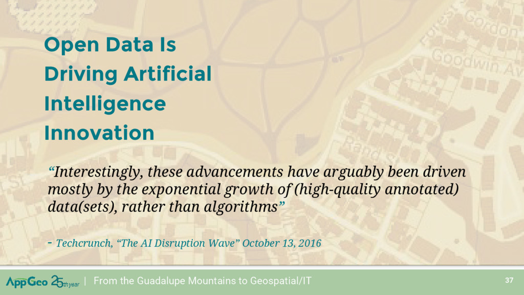
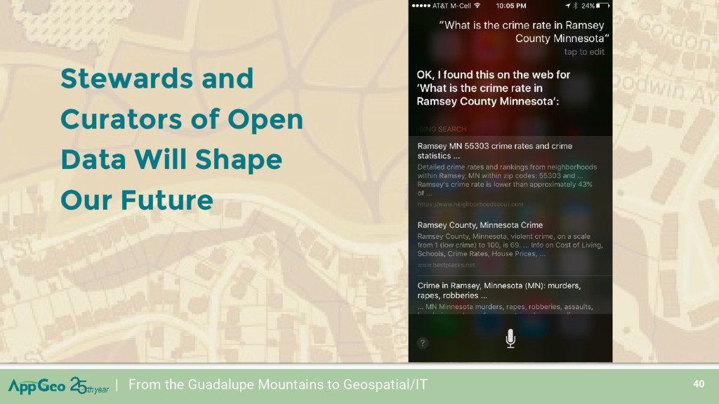
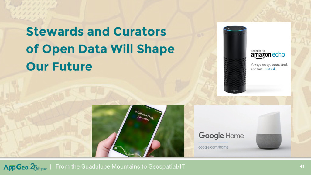
Is Driving Artificial Intelligence Innovation “Interestingly, these advancements have arguably been driven mostly by the exponential growth of (high-quality annotated) data(sets), rather than algorithms” - Techcrunch, “The AI Disruption Wave” October 13, 2016