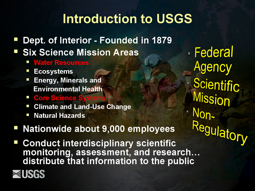
1879 § Six Science Mission Areas § Water Resources § Ecosystems § Energy, Minerals and Environmental Health § Core Science Systems § Climate and Land-Use Change § Natural Hazards § Nationwide about 9,000 employees § Conduct interdisciplinary scientific monitoring, assessment, and research… distribute that information to the public
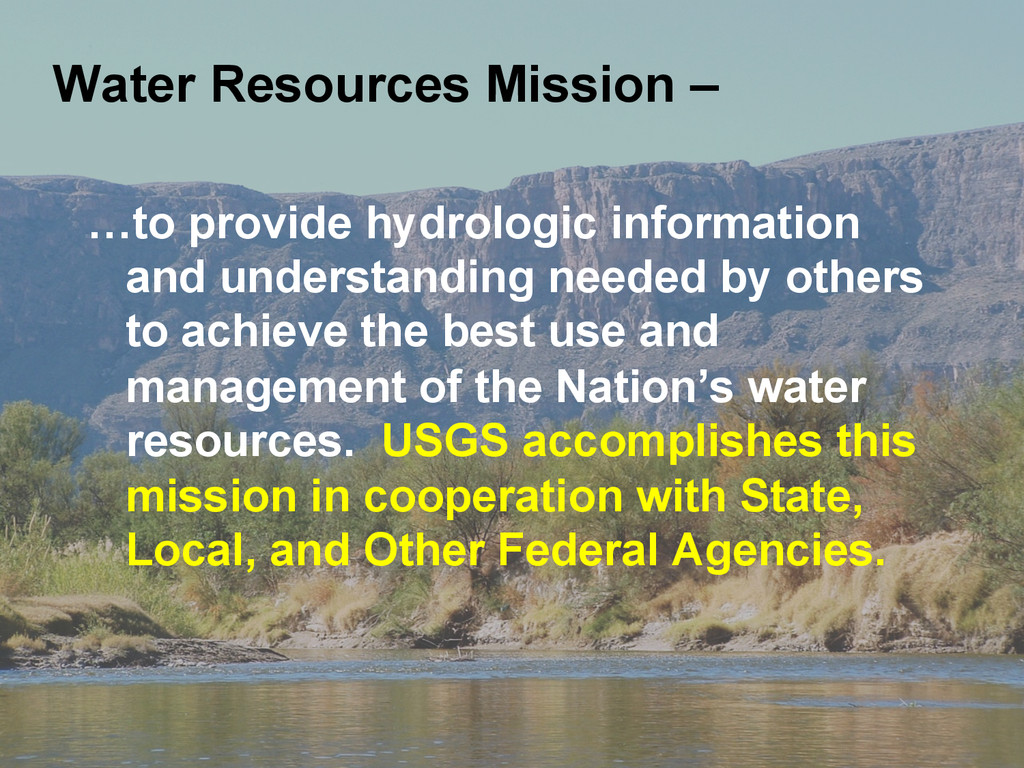
achieve the best use and management of the Nation’s water resources. USGS accomplishes this mission in cooperation with State, Local, and Other Federal Agencies. Water Resources Mission –
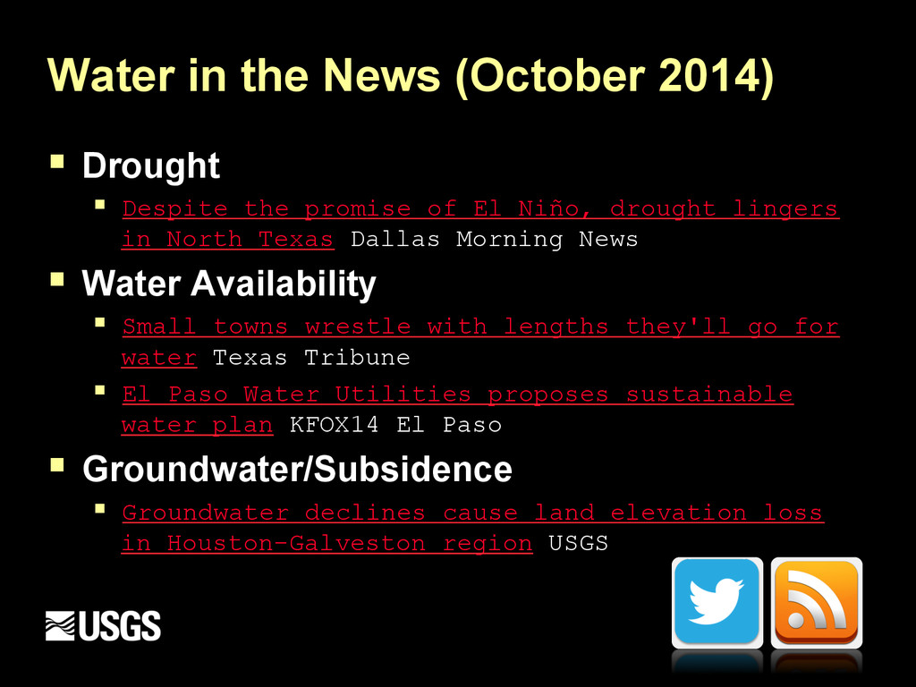
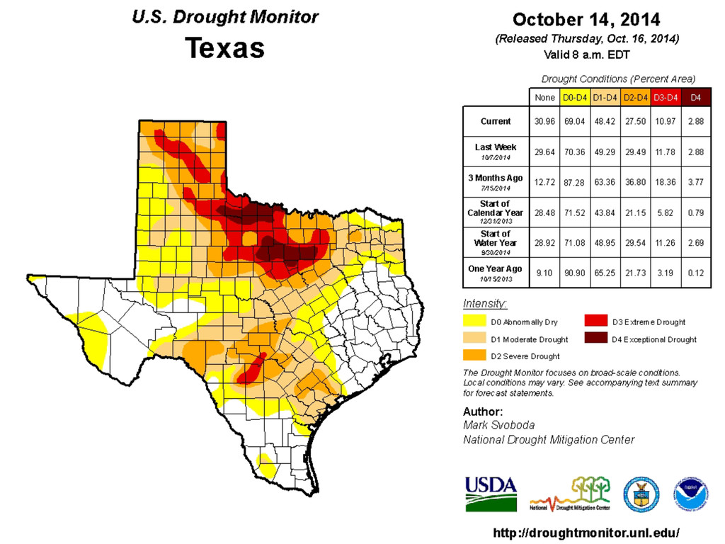
the promise of El Niño, drought lingers in North Texas Dallas Morning News § Water Availability § Small towns wrestle with lengths they'll go for water Texas Tribune § El Paso Water Utilities proposes sustainable water plan KFOX14 El Paso § Groundwater/Subsidence § Groundwater declines cause land elevation loss in Houston-Galveston region USGS
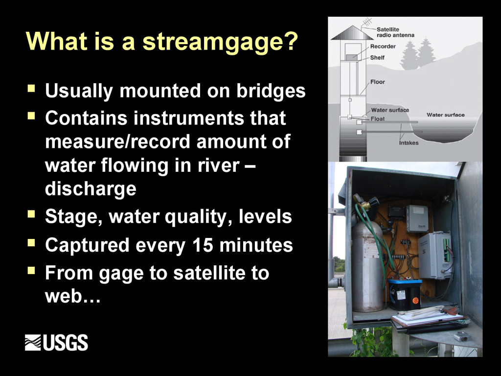
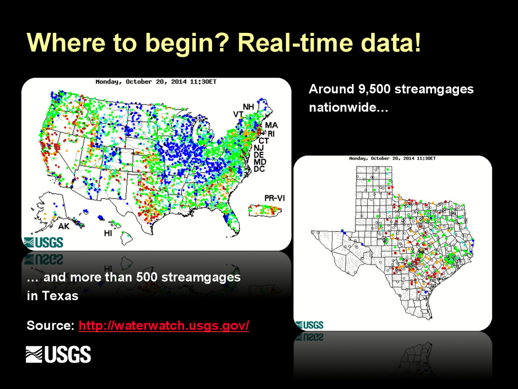
Contains instruments that measure/record amount of water flowing in river – discharge § Stage, water quality, levels § Captured every 15 minutes § From gage to satellite to web…
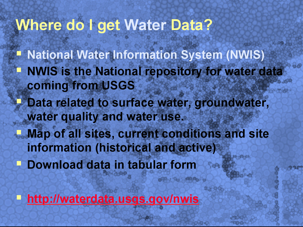
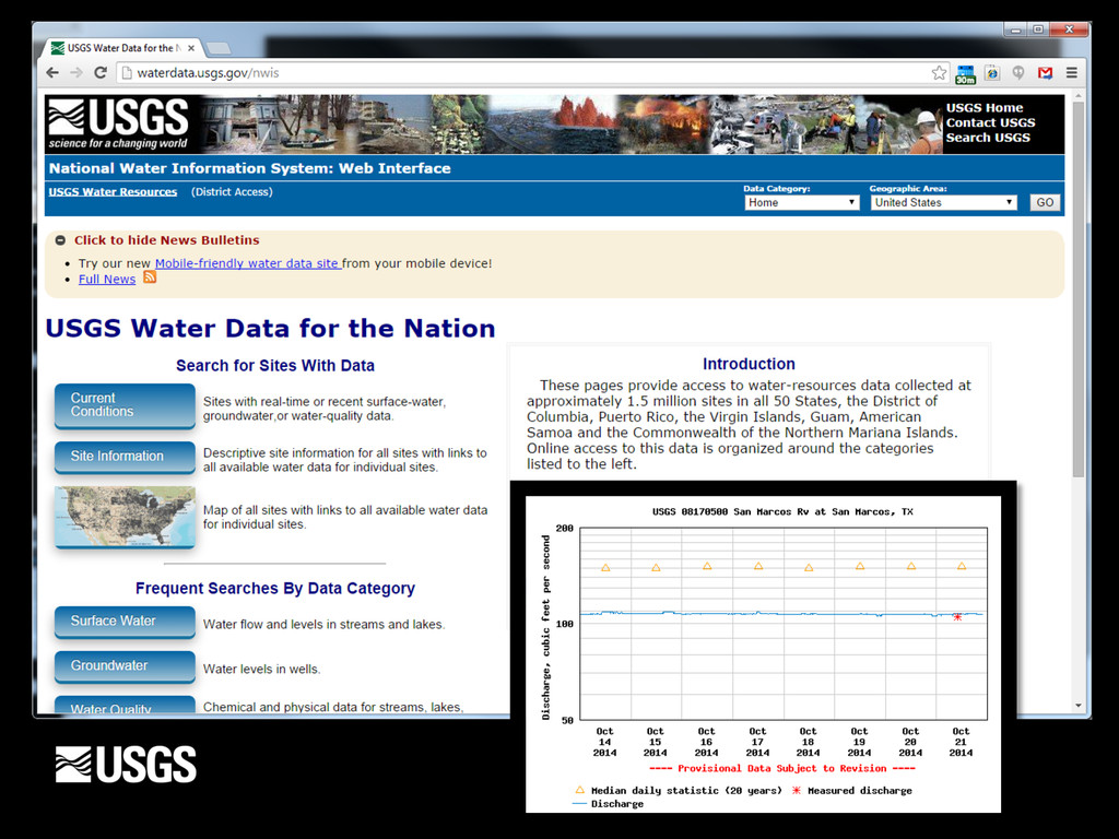
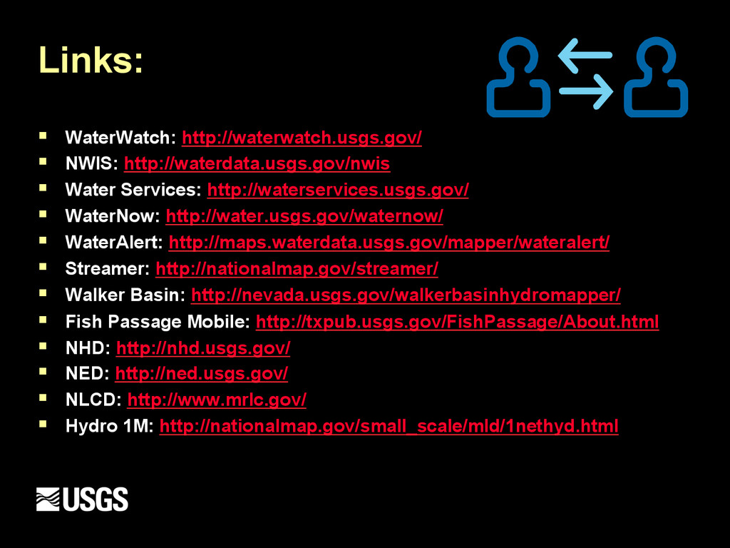
System (NWIS) § NWIS is the National repository for water data coming from USGS § Data related to surface water, groundwater, water quality and water use. § Map of all sites, current conditions and site information (historical and active) § Download data in tabular form § http://waterdata.usgs.gov/nwis
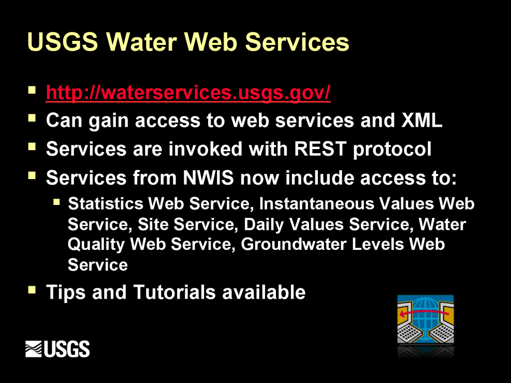
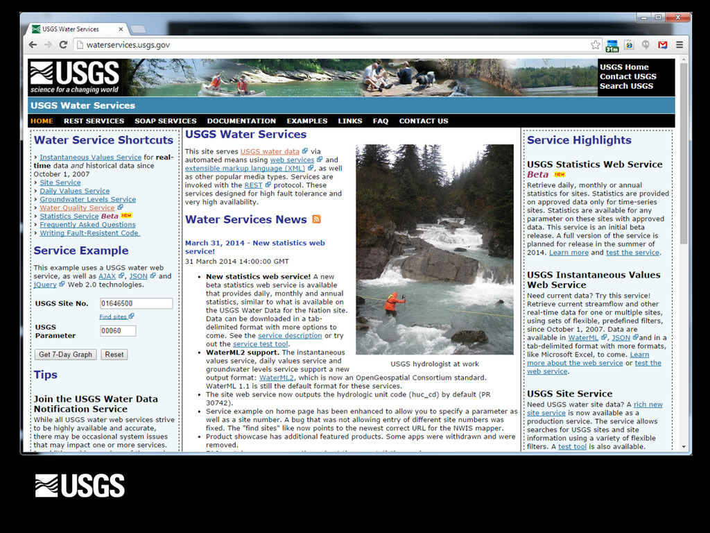
to web services and XML § Services are invoked with REST protocol § Services from NWIS now include access to: § Statistics Web Service, Instantaneous Values Web Service, Site Service, Daily Values Service, Water Quality Web Service, Groundwater Levels Web Service § Tips and Tutorials available
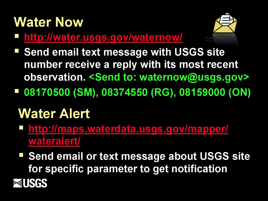
USGS site number receive a reply with its most recent observation. <Send to: [email protected]> § 08170500 (SM), 08374550 (RG), 08159000 (ON) Water Alert § http://maps.waterdata.usgs.gov/mapper/ wateralert/ § Send email or text message about USGS site for specific parameter to get notification
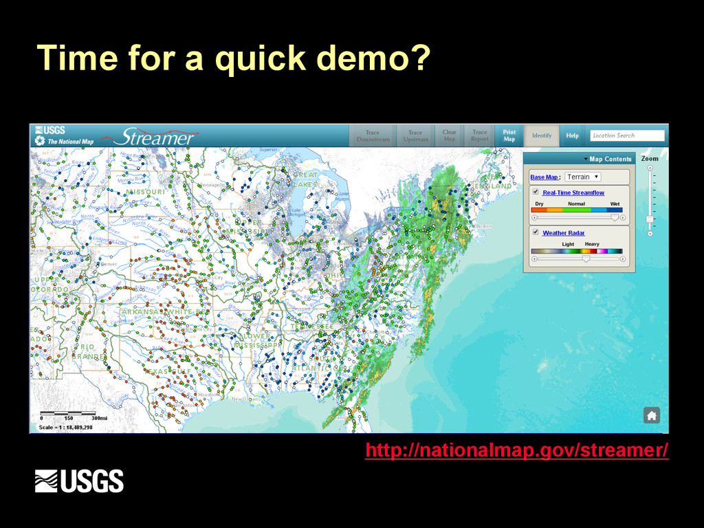
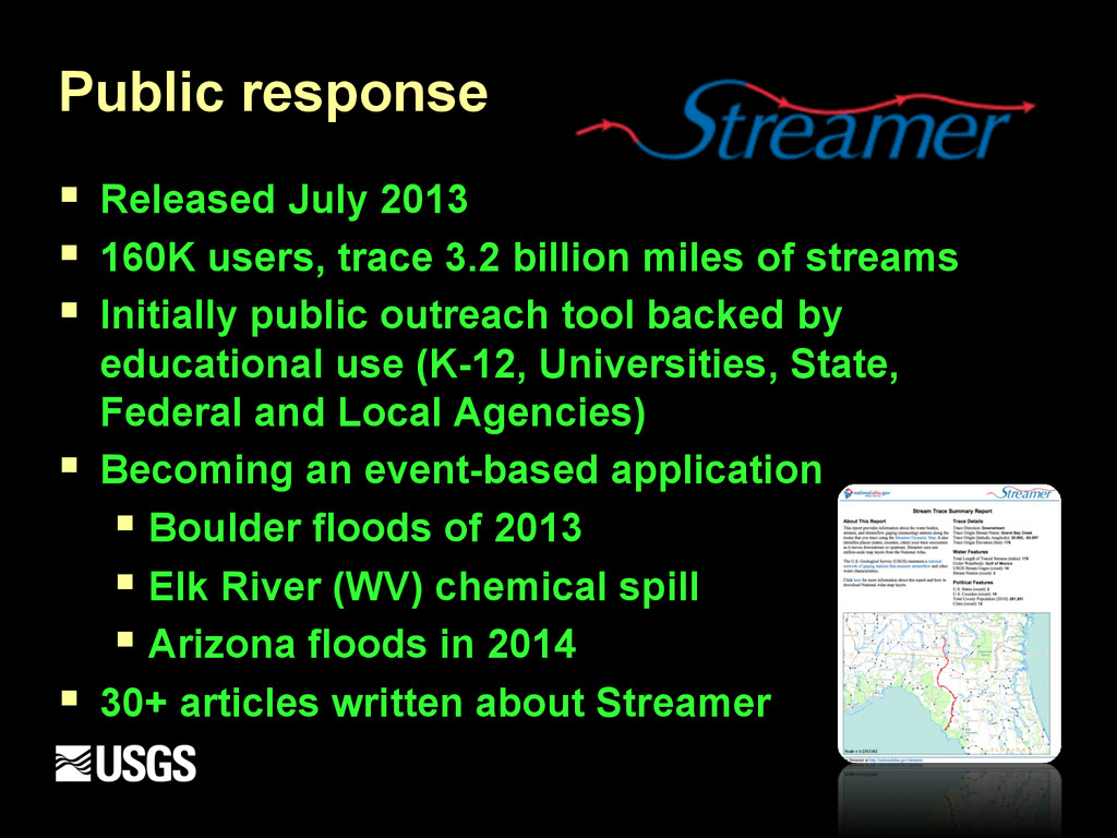
Major Rivers From Your Computer § http://nationalmap.gov/streamer/ § Released in July 2013 - Cooperation with National Atlas and the National Map of the United States § Traces the Nation’s major rivers upstream and downstream via Hydro 1M networked hydrography
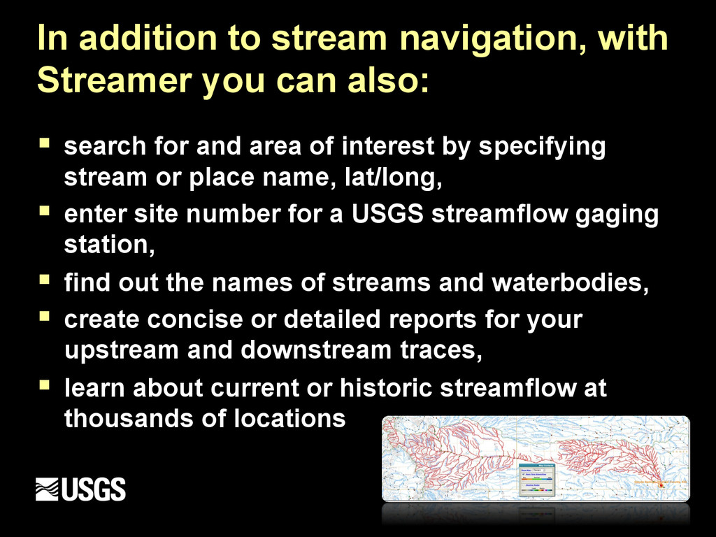
§ search for and area of interest by specifying stream or place name, lat/long, § enter site number for a USGS streamflow gaging station, § find out the names of streams and waterbodies, § create concise or detailed reports for your upstream and downstream traces, § learn about current or historic streamflow at thousands of locations
3.2 billion miles of streams § Initially public outreach tool backed by educational use (K-12, Universities, State, Federal and Local Agencies) § Becoming an event-based application § Boulder floods of 2013 § Elk River (WV) chemical spill § Arizona floods in 2014 § 30+ articles written about Streamer
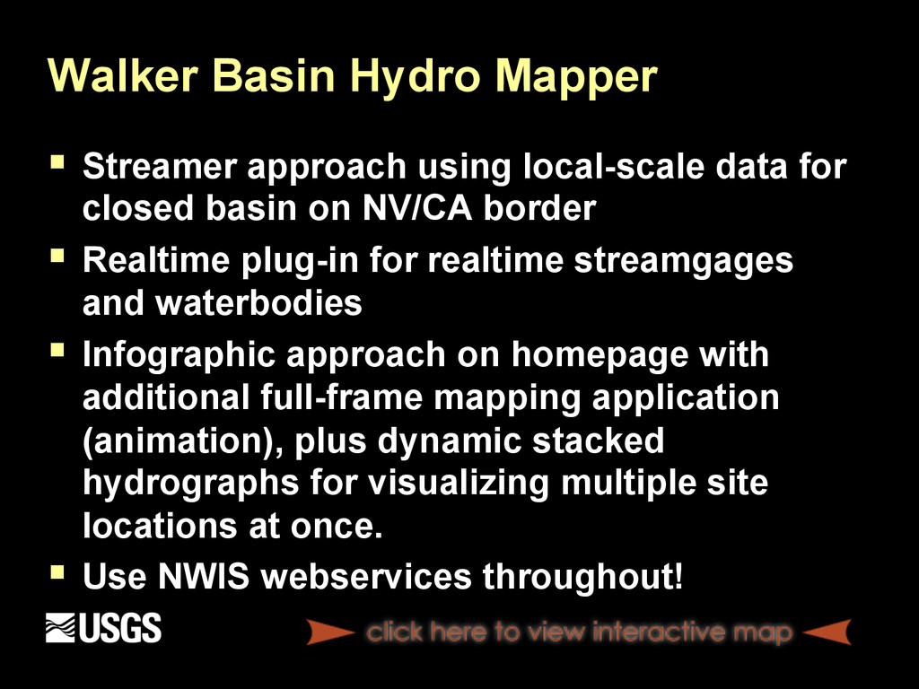
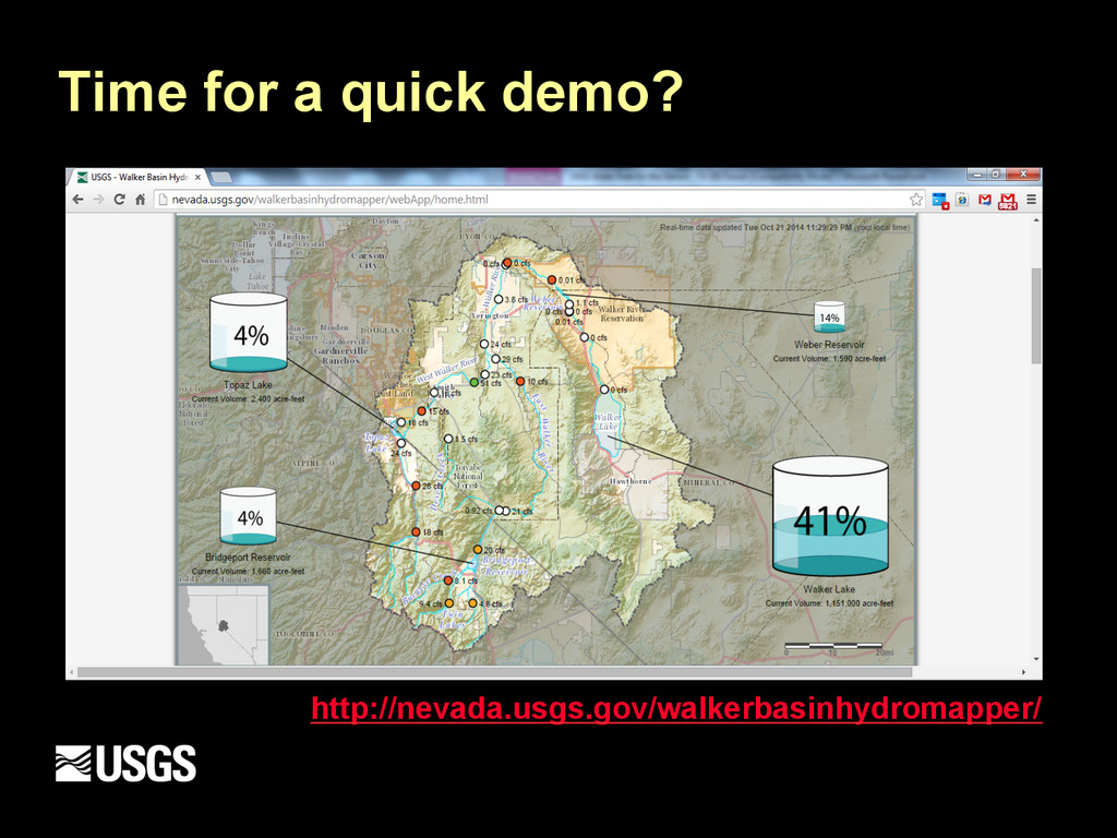
for closed basin on NV/CA border § Realtime plug-in for realtime streamgages and waterbodies § Infographic approach on homepage with additional full-frame mapping application (animation), plus dynamic stacked hydrographs for visualizing multiple site locations at once. § Use NWIS webservices throughout!
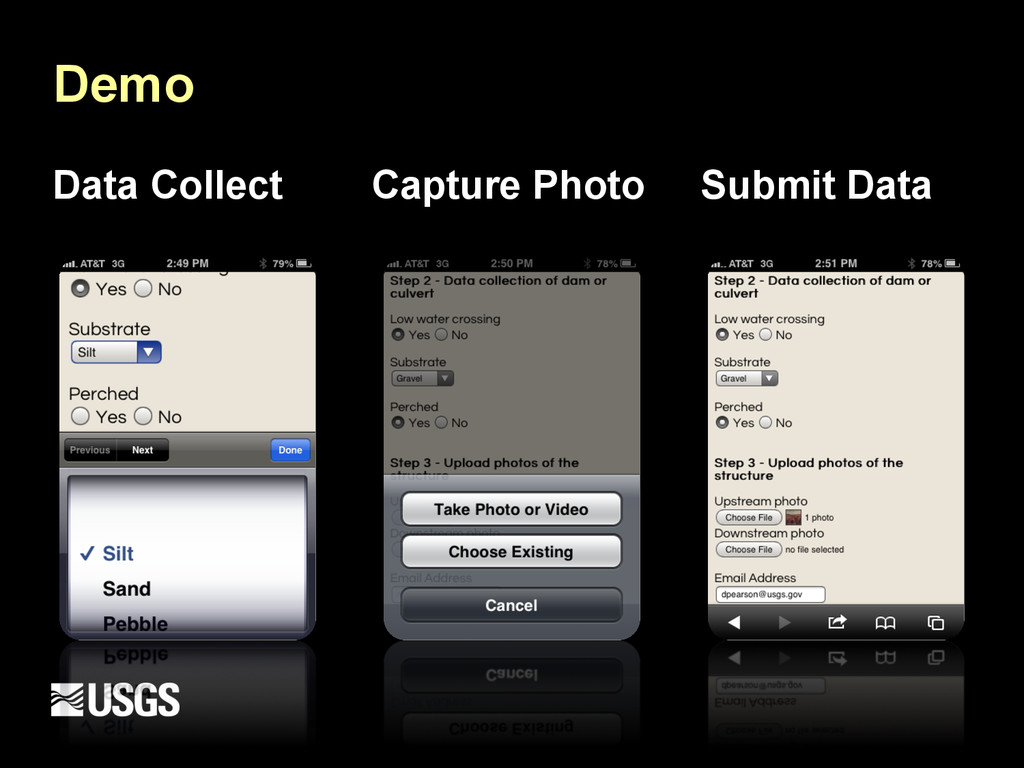
MDEP teamed up in cooperation with USFWS Texas Fish and Wildlife Conservation Office (San Marcos, TX) § Mike Montagne and Pete Diaz (USFWS), Fon Duke and Doug Zellif (MDEP) § Build HTML5 mobile data collection platform to identify, map and capture photos of small impoundments and low water crossings that present a barrier for fish passage § http://txpub.usgs.gov/FishPassage/About.html
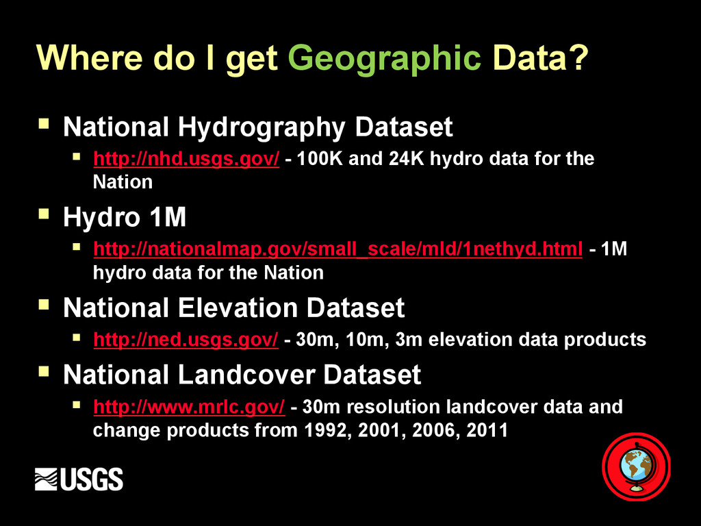
§ http://nhd.usgs.gov/ - 100K and 24K hydro data for the Nation § Hydro 1M § http://nationalmap.gov/small_scale/mld/1nethyd.html - 1M hydro data for the Nation § National Elevation Dataset § http://ned.usgs.gov/ - 30m, 10m, 3m elevation data products § National Landcover Dataset § http://www.mrlc.gov/ - 30m resolution landcover data and change products from 1992, 2001, 2006, 2011