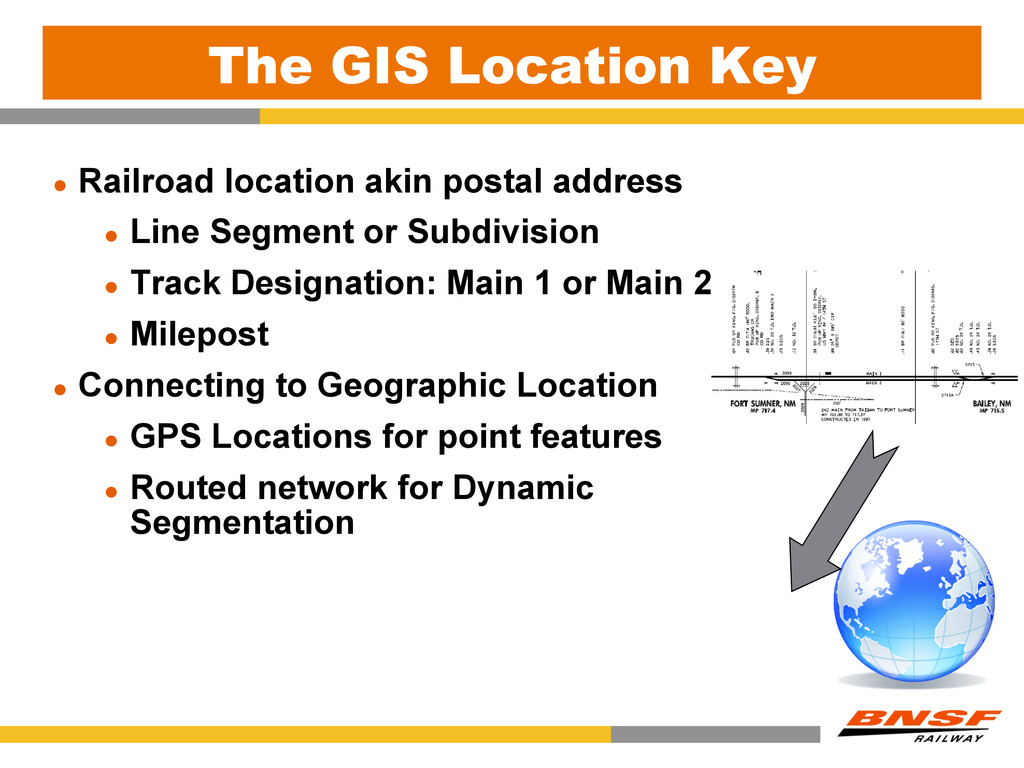
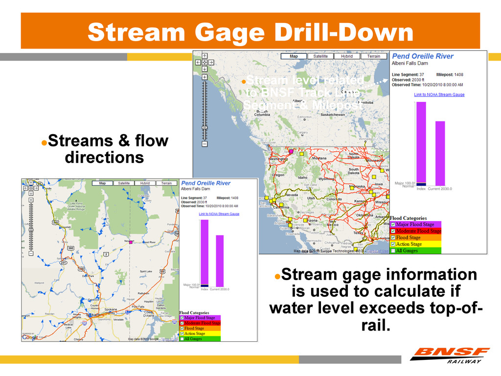
l Line Segment or Subdivision l Track Designation: Main 1 or Main 2 l Milepost l Connecting to Geographic Location l GPS Locations for point features l Routed network for Dynamic Segmentation
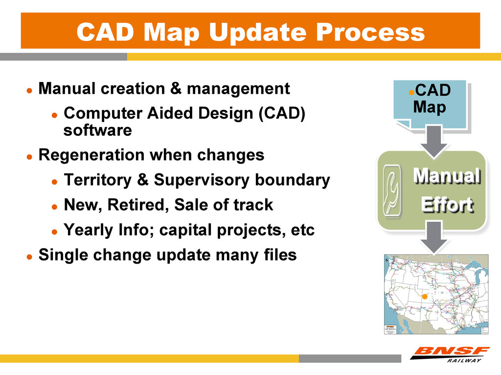
Computer Aided Design (CAD) software l Regeneration when changes l Territory & Supervisory boundary l New, Retired, Sale of track l Yearly Info; capital projects, etc l Single change update many files Manual Effort l CAD Map l Ma p
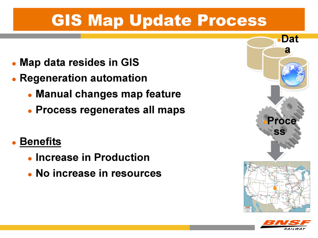
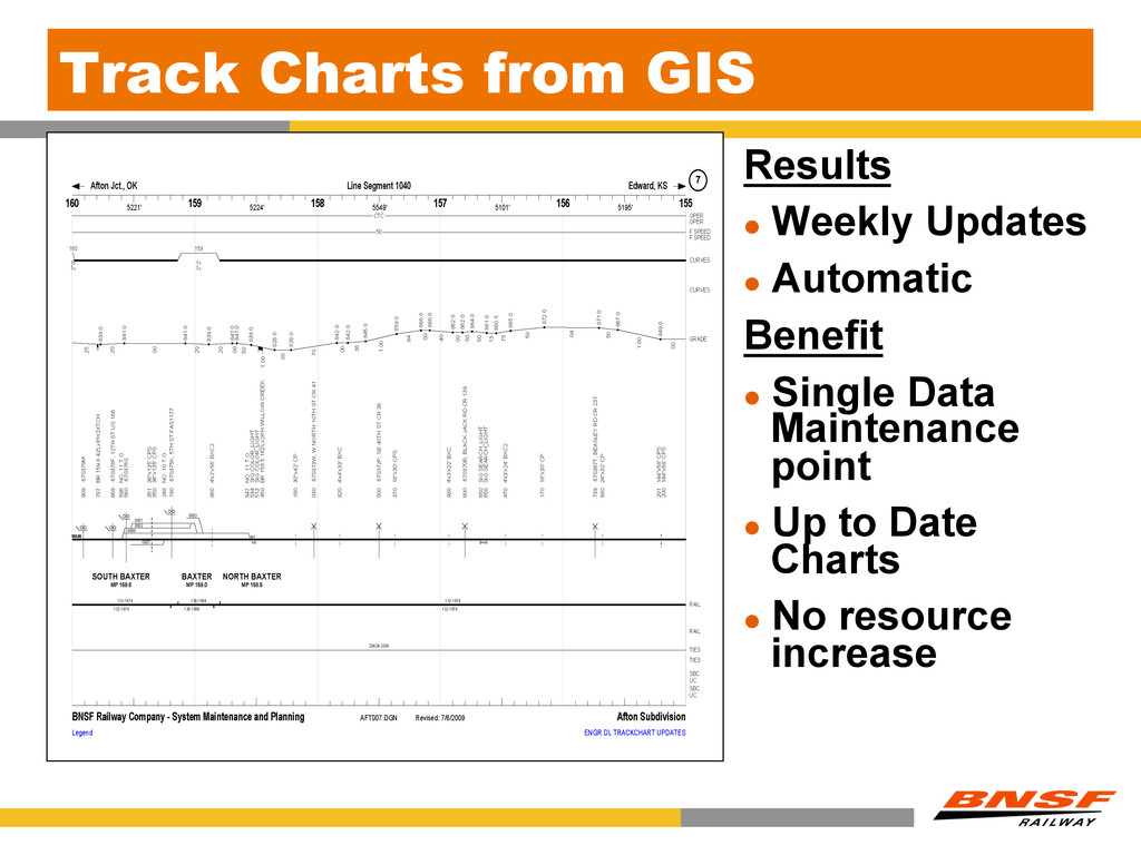
l Regeneration automation l Manual changes map feature l Process regenerates all maps l Benefits l Increase in Production l No increase in resources l Dat a l Proce ss l Ma p
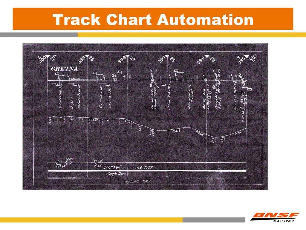
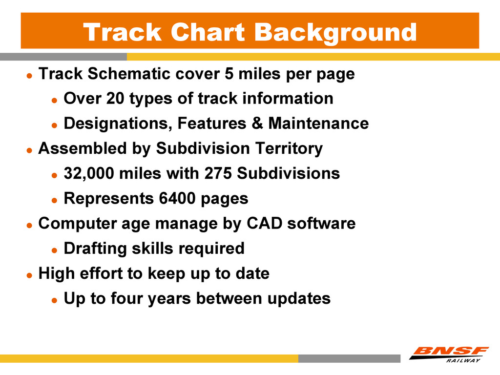
page l Over 20 types of track information l Designations, Features & Maintenance l Assembled by Subdivision Territory l 32,000 miles with 275 Subdivisions l Represents 6400 pages l Computer age manage by CAD software l Drafting skills required l High effort to keep up to date l Up to four years between updates
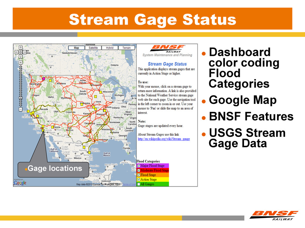
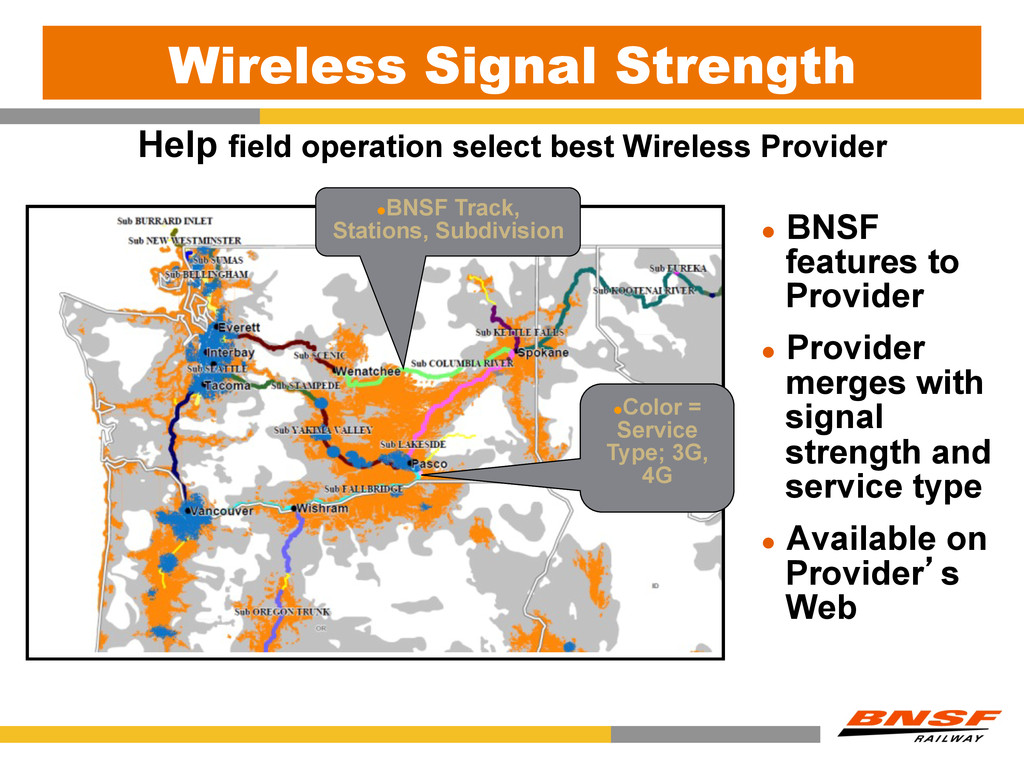
l BNSF features to Provider l Provider merges with signal strength and service type l Available on Provider’s Web l Color = Service Type; 3G, 4G l Color = Service Type; 3G, 4G l BNSF Track, Stations, Subdivision
(Longitude & Latitude) l GPS - Differential correction & dead reckoning l Roadmaster download to GPS device l USB connection onboard geometry car l GPS device used to “GoTo” exception l Benefits l Increased level of confidence in locating l Elimination of paint spray marking systems l High yearly cost & maintenance
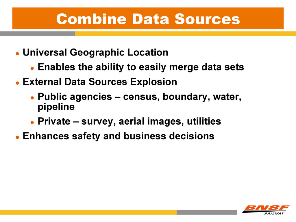
your audience l Bring in outside world to make more informed decisions l Manage the way and track the way there l Getting there quicker l Maintain the data Small slice of the benefits l Marketing, Mechanical, Operations, etc.