Upgrade to Pro — share decks privately, control downloads, hide ads and more …

A Tool for Promoting Community Resilience Along Inland Waterways

WCC Scotland
September 22, 2016

A Tool for Promoting Community Resilience Along Inland Waterways

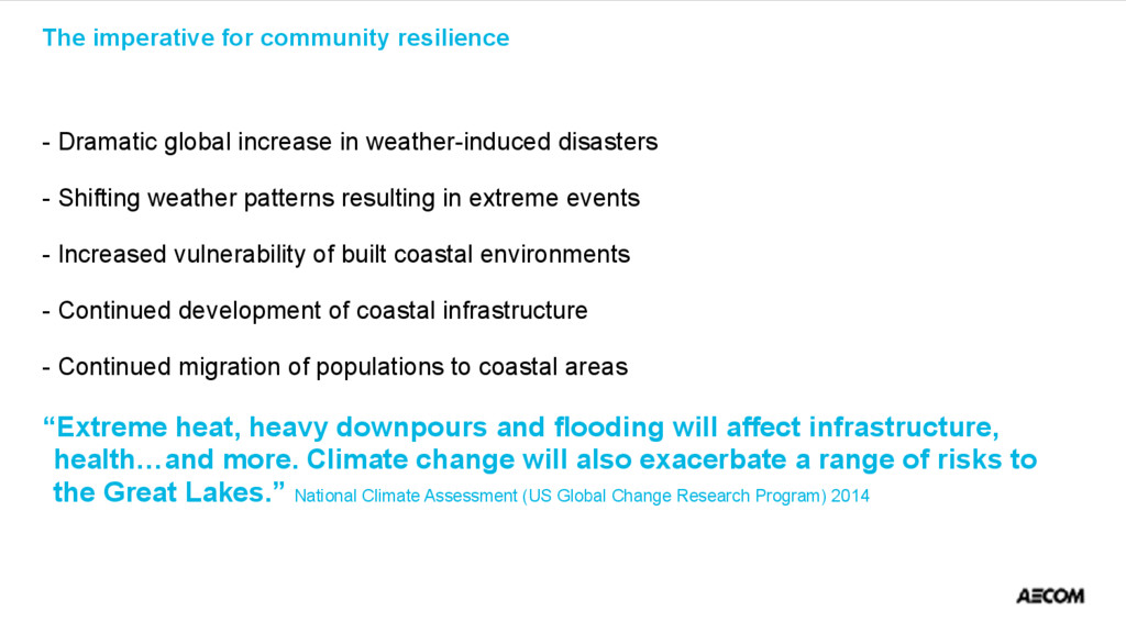
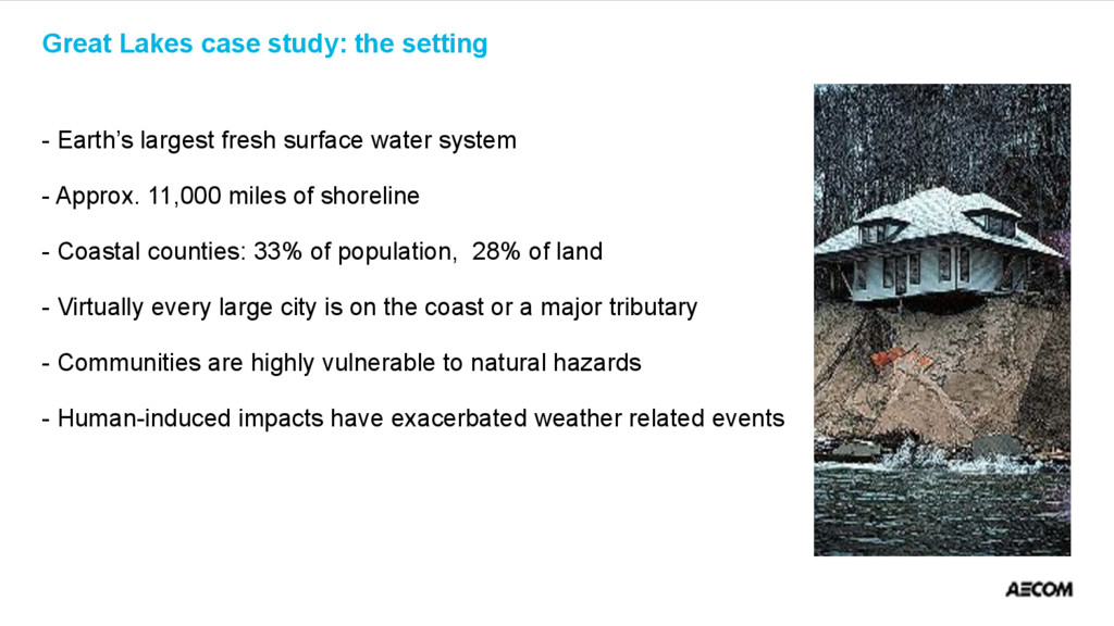
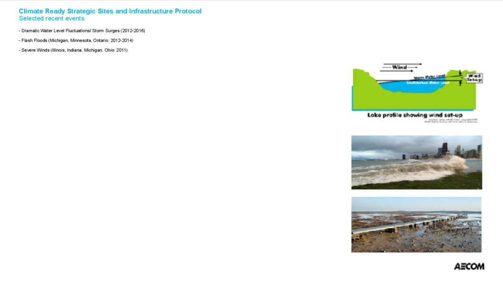
Recognizing the vulnerability of coastal communities to extreme weather events, a ‘Climate ready infrastructure and strategic sites protocol’ was developed to assist officials in preparing for and avoiding adverse impacts on critical infrastructure. The protocol identifies and characterises at-risk infrastructure and offers a process to prioritise protection and response measures.

WCC Scotland

September 22, 2016
Tweet

More Decks by WCC Scotland

Other Decks in Business

Transcript

  1. A tool for promoting community resilience along inland waterways Michael

    J. Donahue, Ph.D. Vice president, Water Resources and Environmental Services Director, National Coastal and Ecosystem Restoration Practice 22 September 2016
  2. - Introduction - The Imperative for Community Resilience - A

    Great Lakes Case Study- the Setting - Climate Ready Strategic Sites and Infrastructure Protocol (CRSSIP) - Impetus - Goal and Objectives - Methodology - Applications - Adaptability - ‘Lessons Learned’ for Application Elsewhere 
 Presentation outline

  3. - Developing a Strategic Sites and Infrastructure Protocol (SSIP) for

    Great Lakes Municipalities - Great Lake-St. Lawrence Cities Initiative - University of Michigan - City of Gary, Indiana - National Oceanic and Atmospheric Administration 
 Project sponsors

  4. - Dramatic global increase in weather-induced disasters - Shifting weather

    patterns resulting in extreme events - Increased vulnerability of built coastal environments - Continued development of coastal infrastructure - Continued migration of populations to coastal areas “Extreme heat, heavy downpours and flooding will affect infrastructure, health…and more. Climate change will also exacerbate a range of risks to the Great Lakes.” National Climate Assessment (US Global Change Research Program) 2014 
 The imperative for community resilience

  5. - Earth’s largest fresh surface water system - Approx. 11,000

    miles of shoreline - Coastal counties: 33% of population, 28% of land - Virtually every large city is on the coast or a major tributary - Communities are highly vulnerable to natural hazards - Human-induced impacts have exacerbated weather related events 
 Great Lakes case study: the setting

  6. 
 Climate Ready Strategic Sites and Infrastructure Protocol
 Selected recent

    events
 
 - Dramatic Water Level Fluctuations/ Storm Surges (2012-2016) 
 
 - Flash Floods (Michigan, Minnesota, Ontario: 2012-2014) 
 
 - Severe Winds (Illinois, Indiana, Michigan, Ohio: 2011)

  7. - Increase in global/regional extreme events and trends - Pronounced

    impact on coastal areas and tributaries - Vulnerability of Great Lakes coastal assets - Prospects for infrastructure damage and risks to human health and safety - Demonstrated lack of emergency preparedness for extreme weather events 
 Impetus

  8. Advance the health and safety of vulnerable coastal communities by

    providing a protocol to triage and protect areas of greatest concern Objectives: - Methodology to identify/protect strategic sites and infrastructure - Demonstrate connection between critical infrastructure damage and economic losses/human health risks - Raises awareness of extreme weather risks and associated benefit for adaptation and readiness - Accommodate realities: lack of reliable data on climate change impacts, and limited municipal financial/staff resources 
 Climate Ready Strategic Sites and Infrastructure Protocol
 Goal and objectives
  9. - Highly vulnerable Great Lakes coastal community - Catastrophic flood

    events of 2007 and 2008 - Flooding (roads, homes, businesses, public buildings) - Crippled community infrastructure and services (public transportation, utilities) - Limited resources for anticipating/responding to extreme events and planning mitigation actions 
 Pilot study selection – Gary, Indiana

  10. 
 Methodology 
 
 Step 1 - Scope, process and

    team
 
 Step 2 - Assess weather impacts and at-risk areas 
 

  11. 
 Risk matrix 
 
 - Gathers information on all

    potentially vulnerable facilities
 
 - Reflects input/advice on mitigation action from those responsible for O&M of key

  12. 
 Area of focus 
 Critical infrastructure 
 
 -

    Water supply and wastewater treatment plants/networks 
 

  13. 
 Risk matrix components 
 
 A. General Site Information


 B. Identify Risk Areas (Geographic-specific) 
 

  14. Selected responses
 
 - Infrastructure retrofits (e.g., wind, heat, flood

    proofing)
 
 - Stormwater storage and re-use
 
 - Green engineering of shorelines

  15. - Testing and refinements within pilot city - Implement recommendations

    in key operational areas - Publicize protocol with Great Lakes region and beyond - Work with individual communities to apply protocol and implement associated recommendations 
 Next steps

  16. - Climate variability and extreme weather events are global concerns

    for coasts, canals and other waterways - Given our ‘built environment’, these areas are particularly vulnerable to an array of weather-induced events - Many coastal communities are ill-prepared to respond to extreme weather events; even fewer focus on long-term planning and mitigated actions - The Protocol is a convenient means to document and address vulnerabilities - An array of structural and nonstructural solutions, as well as financing mechanisms, are available ‘Lessons Learned’ for application elsewhere

  17. Questions? 
 
 For additional information: 
 
 Michael J.

    Donahue. Ph.D.
 AECOM Technical Services 
 
 248.204.4953 (office)
 734.646.4638 (cell)
 
 Southfield, Michigan, USA