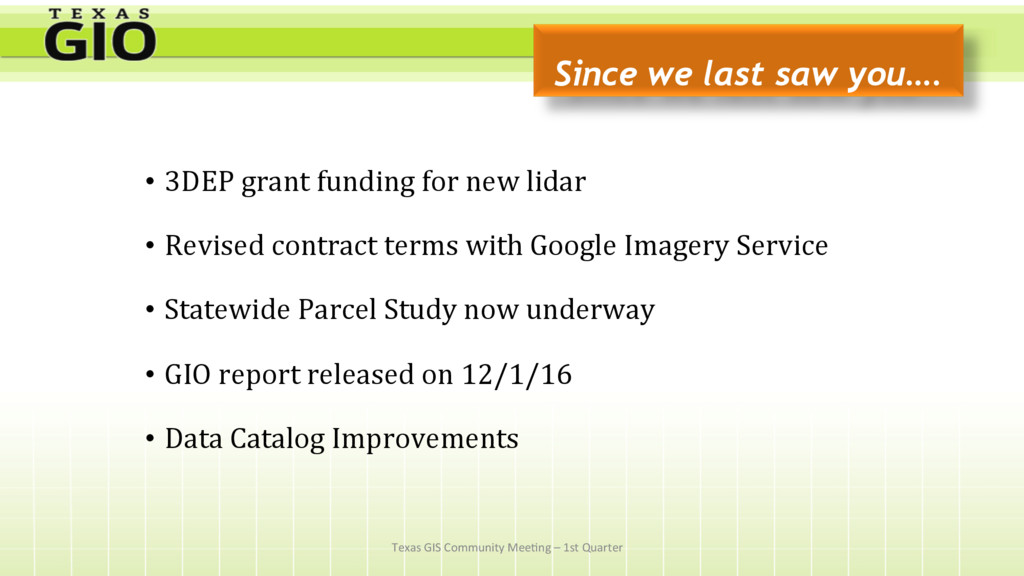
new lidar • Revised contract terms with Google Imagery Service • Statewide Parcel Study now underway • GIO report released on 12/1/16 • Data Catalog Improvements Texas GIS Community Mee;ng – 1st Quarter
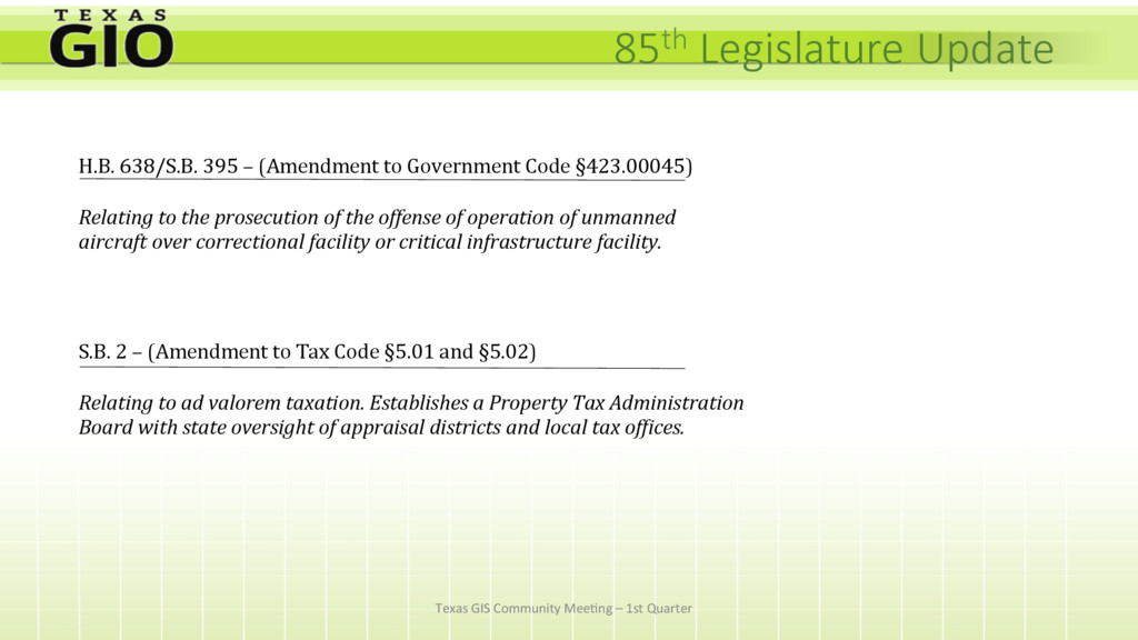
H.B. 638/S.B. 395 – (Amendment to Government Code §423.00045) Relating to the prosecution of the offense of operation of unmanned aircraft over correctional facility or critical infrastructure facility. S.B. 2 – (Amendment to Tax Code §5.01 and §5.02) Relating to ad valorem taxation. Establishes a Property Tax Administration Board with state oversight of appraisal districts and local tax of?ices.
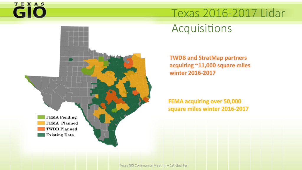
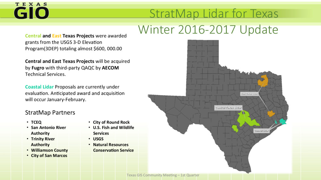
Texas Projects were awarded grants from the USGS 3-D Eleva;on Program(3DEP) totaling almost $600, 000.00 Central and East Texas Projects will be acquired by Fugro with third-party QAQC by AECOM Technical Services. Coastal Lidar Proposals are currently under evalua;on. An;cipated award and acquisi;on will occur January-February. StratMap Partners • TCEQ • San Antonio River Authority • Trinity River Authority • Williamson County • City of San Marcos • City of Round Rock • U.S. Fish and Wildlife Services • USGS • Natural Resources ConservaVon Service Texas GIS Community Mee;ng – 1st Quarter
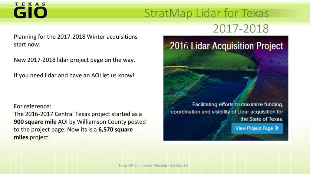
acquisi;ons start now. New 2017-2018 lidar project page on the way. If you need lidar and have an AOI let us know! For reference: The 2016-2017 Central Texas project started as a 900 square mile AOI by Williamson County posted to the project page. Now its is a 6,570 square miles project. Texas GIS Community Mee;ng – 1st Quarter
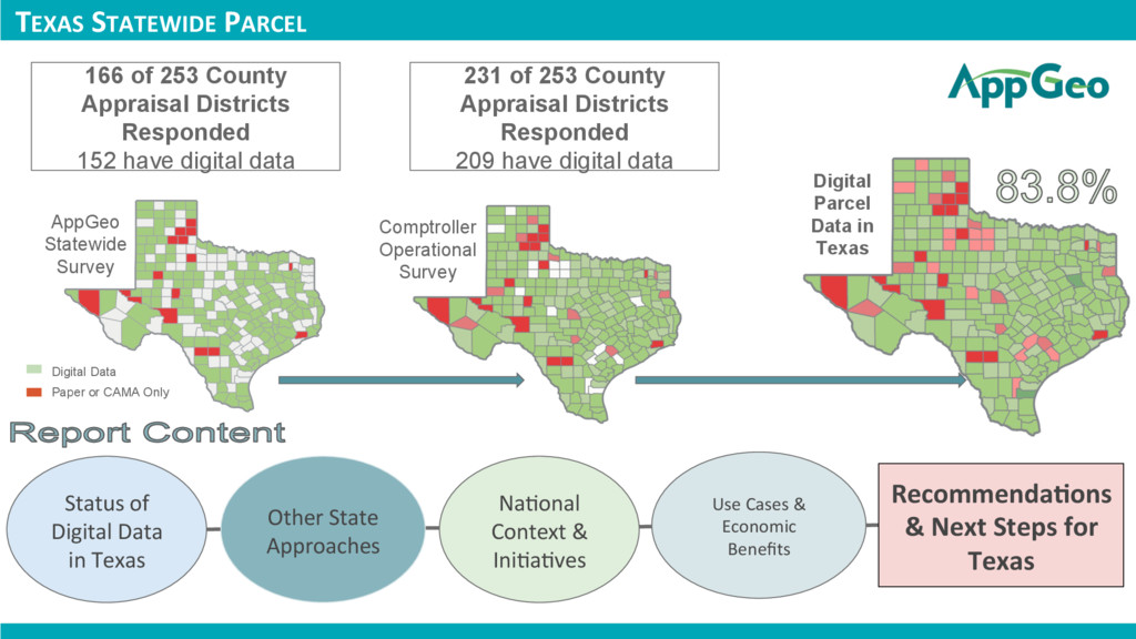
Statewide Survey Comptroller Operational Survey Digital Data Paper or CAMA Only Status of Digital Data in Texas Other State Approaches Na;onal Context & Ini;a;ves Use Cases & Economic Benefits RecommendaVons & Next Steps for Texas 166 of 253 County Appraisal Districts Responded 152 have digital data 231 of 253 County Appraisal Districts Responded 209 have digital data
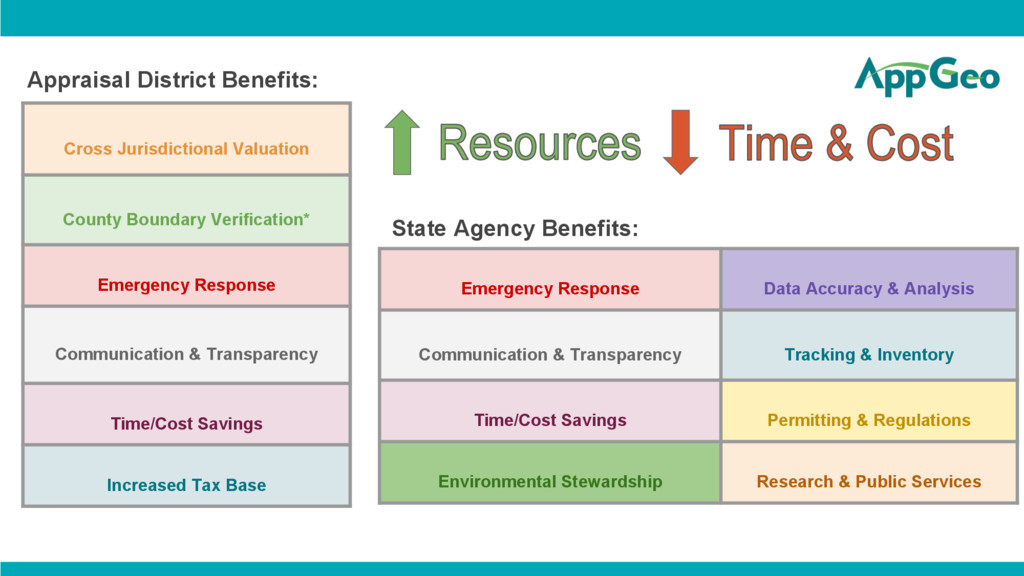
Transparency Time/Cost Savings Increased Tax Base Appraisal District Benefits: Emergency Response Data Accuracy & Analysis Communication & Transparency Tracking & Inventory Time/Cost Savings Permitting & Regulations Environmental Stewardship Research & Public Services State Agency Benefits: