Upgrade to Pro — share decks privately, control downloads, hide ads and more …

Protecting and Enhancing Britain’s Very Special National Park

WCC Scotland
September 22, 2016

Protecting and Enhancing Britain’s Very Special National Park

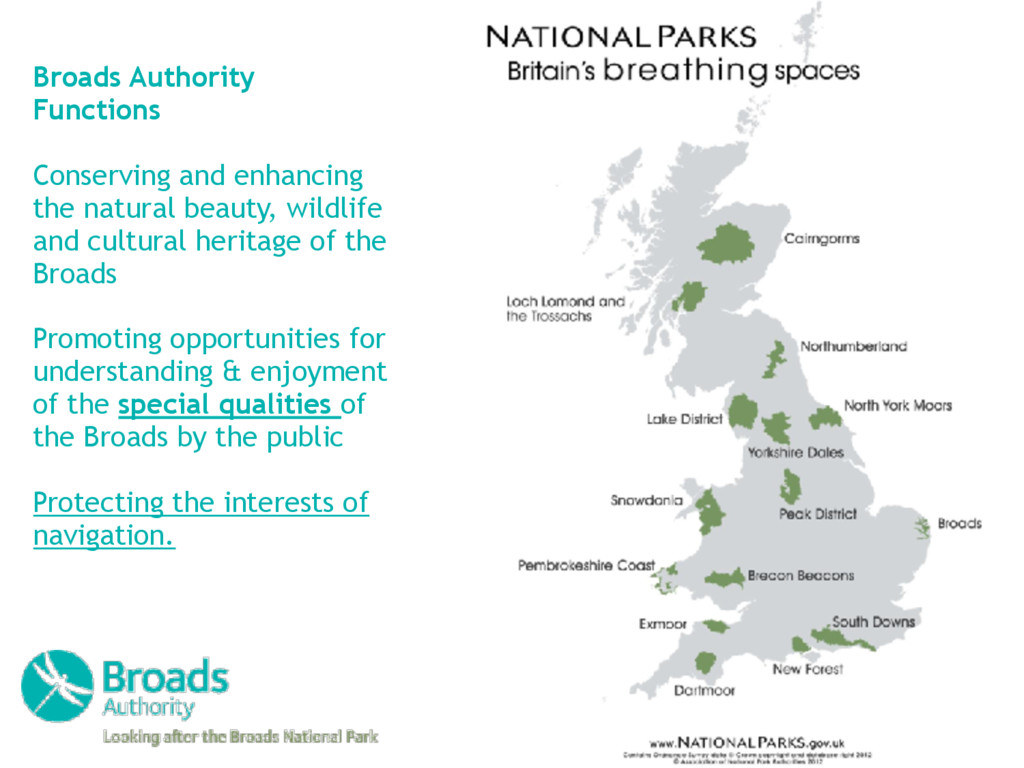
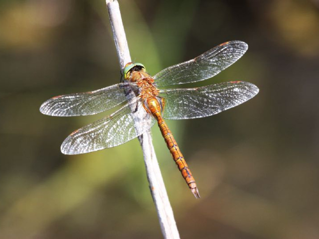
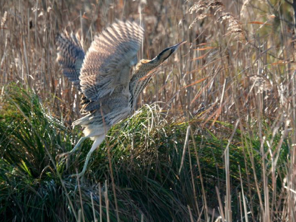
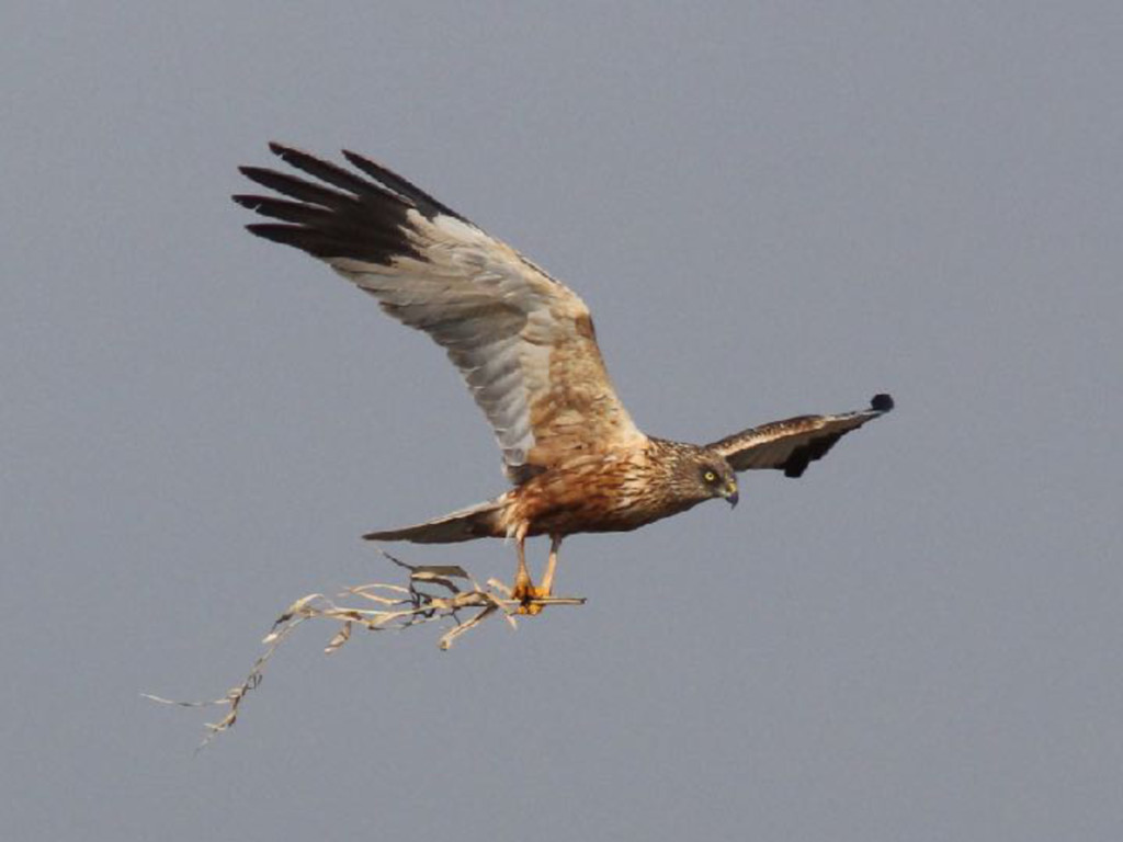
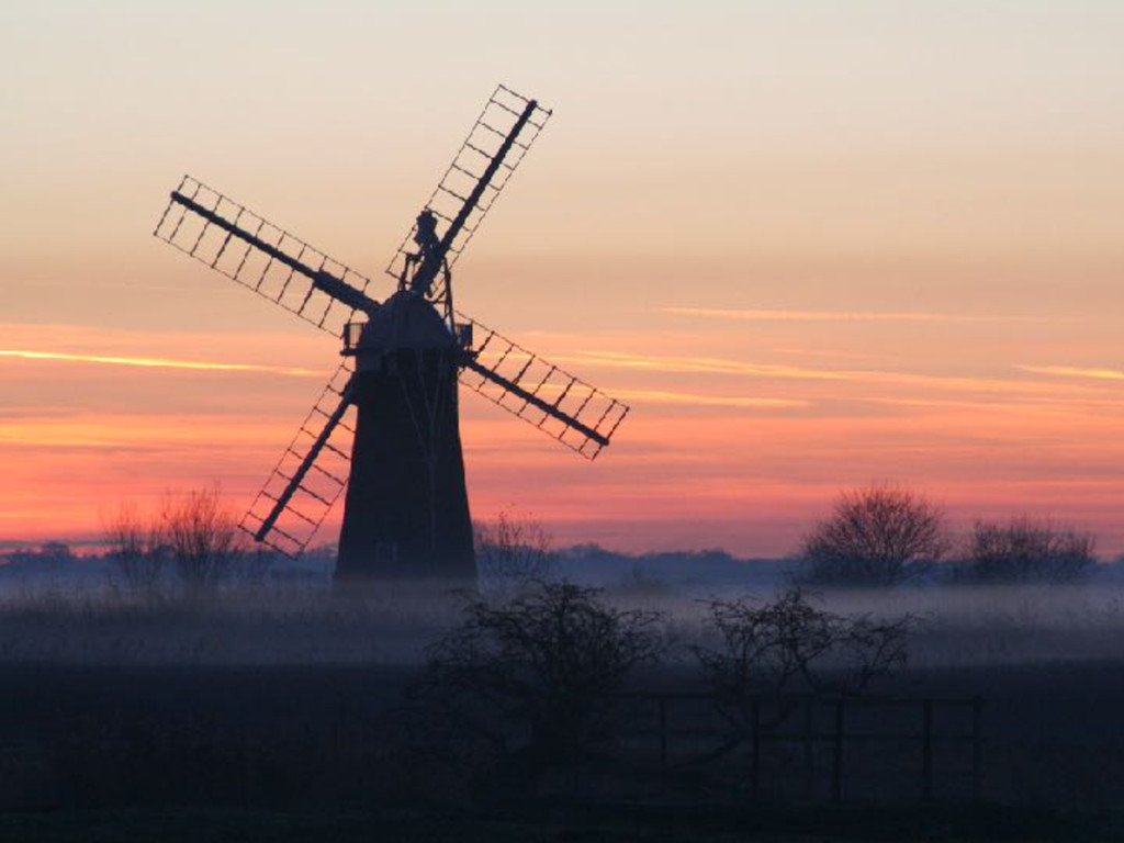
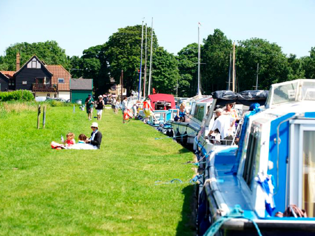
The Broads National Park is Britain’s largest and most precious wetland. Occupying just 0.1% of the UK’s land area it contains 25% of the most rare and important wildlife species as well as being an important waterway for sailing and boating.

The Broads – of Norfolk and Suffolk – was given an equivalent status to that of a national park in 1989 and a dedicated organisation by a bespoke Act of Parliament.

WCC Scotland

September 22, 2016
Tweet

More Decks by WCC Scotland

Other Decks in Business

Transcript

  1. Broads Authority Functions Conserving and enhancing the natural beauty, wildlife

    and cultural heritage of the Broads Promoting opportunities for understanding & enjoyment of the special qualities of the Broads by the public
 Protecting the interests of navigation.
  2. Total income of £7,046,864 and we spent £6,899,501 Issued 12,645

    toll plaques Looked after 25 ponies Managed 150 volunteers who delivered 16,000 hours of help Dredged 51,435m3 of sediment Examined 179 valid planning applications and approved 170 Rangers issued 7,837 verbal warnings for speeding etc. 36,277 calls received in Broads Control 450,000 printed publications Over 200,000 Enjoy the Broads website visits 5,000 Twitter followers Visitor Centre and Yacht Station Income up £26,868 Sold 10,000 ice creams Facts and Figures
  3. Broadland Rivers Catchment Contains Ordnance Survey data © Crown copyright

    and database right 2014.© Environment Agency 2014. Elevation 100m -3m
  4. Run-off risk, flood risk & wildlife sites © Norfolk Biodiversity

    Information Service. © Natural England. © Suffolk Biological Records Centre. Copyright © and Database rights Environment Agency 2015. All rights reserved. Some of the information within the Flood Map is based in part on digital spatial data licensed from the Centre for Ecology and Hydrology © NERC. Based upon LCM2007 ©NERC (CEH) 2011 © Crown copyright 2007. Broads Authority © Crown copyright and database right 2015.
  5. Hickling Broad - Moon Pool Priority 1 
 Top end

    of navigation channel and across to Parish Staithe Priority 2 
 Outside sailing club and ‘beach’ area
  6. Landscape Partnership Area - archaeological potential The crop marks of

    a Late Iron Age to Roman enclosure and three round houses.