Less the 5% of US colleges and universi=es offer training in Free and Open Source Geospa=al SoBware (FOSS4G) • Commercial FOSS4G training is far and few between and predominantly place-‐based F2F • Lack of recognized Open Source industry cer=fica=on PROPRIETARY • One proprietary GIS vendor reports their soBware is used by 7,000 colleges and universi=es globally • Commercial vendors have well-‐established training programs and cer=fica=on pathways
at colleges and universi=es. • Curriculum development effort spanning 3 years resul=ng in an integrated collec=on of five introductory GIS courses featuring FOSS4G solu=ons for the lab component. • Pedagogically based on the US Department of Labor’s Geospa=al Technology Competency Model (GTCM). • Developed using funds from US Na=onal Science Founda=on and Department of Labor grants. • Materials offered for free reuse under the Crea=ve Commons BY 3.0 license.
GIS soBware (FOSS4G) in college and universi=es to prepare our future geospa=al technology industry workers with the broadest possible technical skills. • Provide educators and trainers with founda=onal Open Educa=on Resource (OER) materials to kick-‐start adop=on of FOSS4G in schools, colleges and universi=es in the US and beyond. • Expand the OSGeo/ICA/ISPRS Geo for All ini=a=ve and increase the number of colleges and universi=es in the research collabora=ve (h^p://geoforall.org). • Demonstrate the successful use of GeoAcademy materials for online learning to provide wide-‐ spread training opportuni=es to rural, remote and underserved popula=ons around the globe. • Build a self-‐sustaining community of prac=ce among educators and trainers to build, curate, share and build a FOSS4G OER repository of curriculum materials, licensed under CC BY license on stable Github pla`orm.
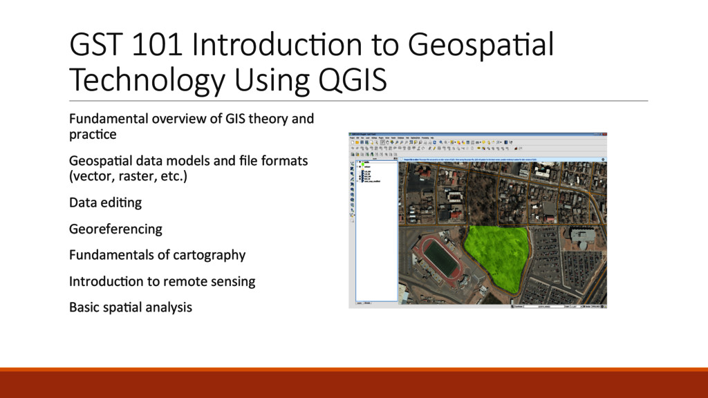
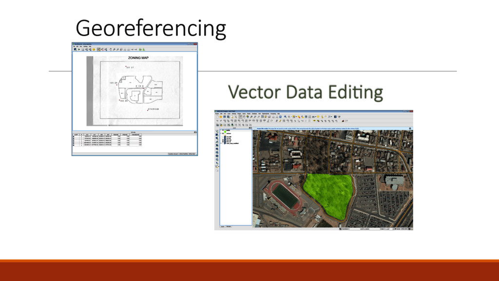
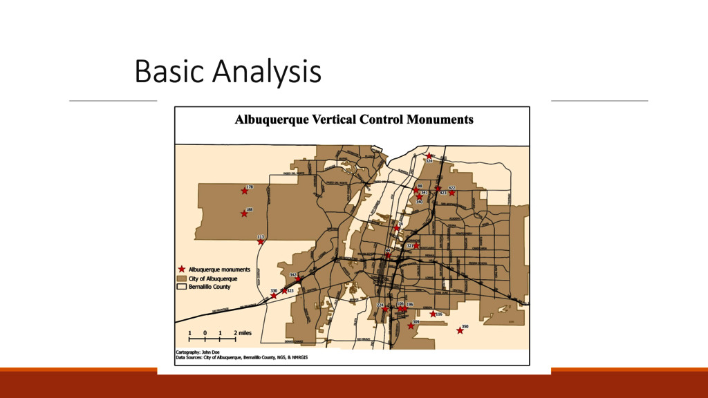
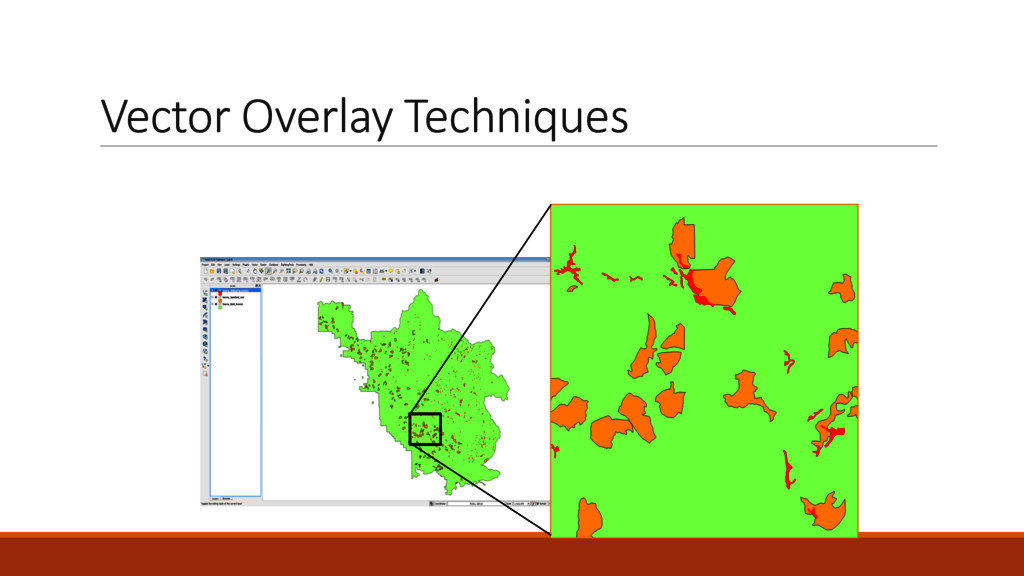
overview of GIS theory and prac=ce Geospa=al data models and file formats (vector, raster, etc.) Data edi=ng Georeferencing Fundamentals of cartography Introduc=on to remote sensing Basic spa=al analysis
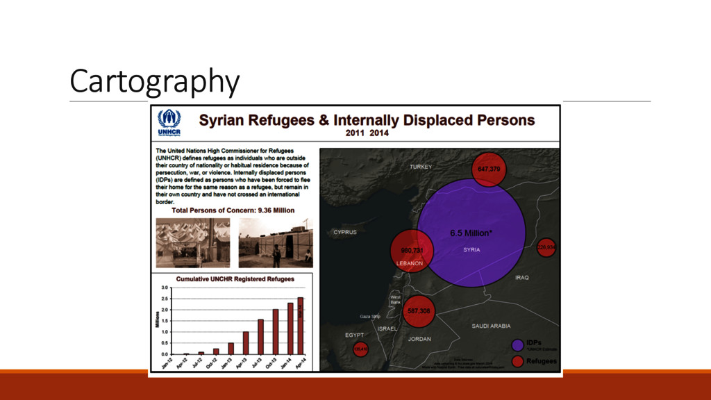
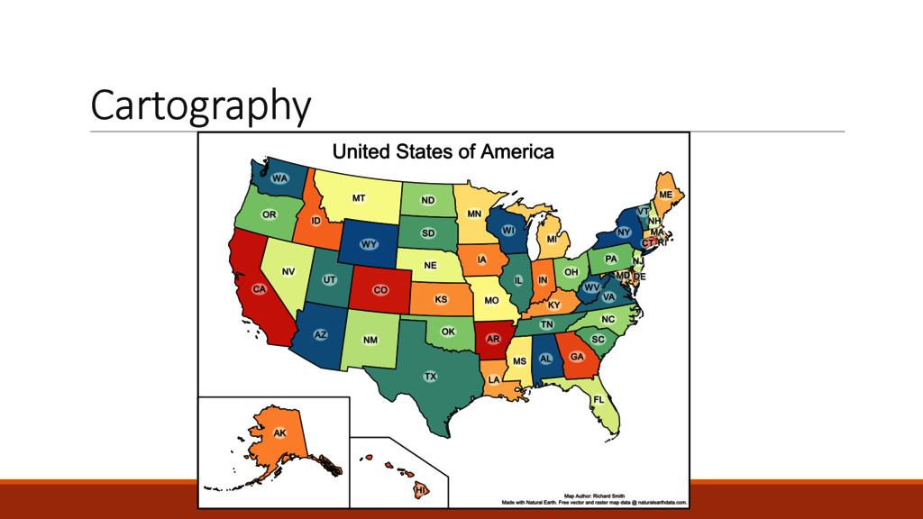
and describe different types of maps (thema=c, reference, etc.) Describe the components of a map (map elements) Employ an appropriate geographic referencing system (datum, projec=on, coordinate system) Select and apply ethical and appropriate data model, map scale, map elements, symboliza=on and color Design professional quality maps employing cartographic principles Cri=que maps for appropriate use of cartographic design principles
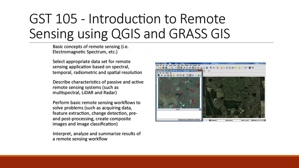
and GRASS GIS Basic concepts of remote sensing (i.e. Electromagne=c Spectrum, etc.) Select appropriate data set for remote sensing applica=on based on spectral, temporal, radiometric and spa=al resolu=on Describe characteris=cs of passive and ac=ve remote sensing systems (such as mul=spectral, LiDAR and Radar) Perform basic remote sensing workflows to solve problems (such as acquiring data, feature extrac=on, change detec=on, pre-‐ and post-‐processing, create composite images and image classifica=on) Interpret, analyze and summarize results of a remote sensing workflow
on our Github: h^ps://github.com/FOSS4GAcademy and at h^p://spa=alquerylab.com/foss4g-‐academy-‐curriculum/ • More than 9,500 individuals have enrolled in one of our free course offering since June 2014. • A dozen colleges have adopted the curriculum materials for use in their GIS programs for 2015. • Our website has had more than 75,000 visits (h^p://foss4geo.wordpress.com). • Partner colleges are now members of the GeoForAll ini=a=ve (h^p://geoforall.org). • We have impacted educators, trainers, professionals, students and re=rees in every con=nent on the globe including 3rd world na=ons in Asia, Africa and South America.
I am working in a Interna=onal development organiza=on as a Senior Monitoring officer-‐M&E. As a Monitoring personal this course will help me to mapping loca=on with popula=on. This Course also help me to conduct baseline survey along with different study. It would be helped me to reach my GIS skill and my future career. My name is Jacob, and I am located in Tennessee in the United States. I am taking this course because I am an archaeologist by trade, and GIS has become an integral part of our modern methodology, and, as such, I am always looking for more training and knowledge in the field. I already have some experience with ArcGIS, but I am a proponent of open source technology so I jumped at the chance to become more familiar with QGIS. I am currently assessing whether QGIS is suitable for teaching some of the introduc=on courses to GIS and remote sensing at my faculty. Besides that I am about to finish my MSc in Geoinforma=on Science and Earth Observa=ons at University of Twente (The Netherlands).
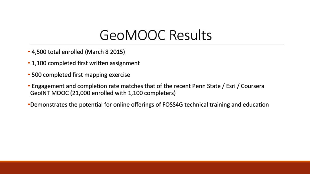
• 1,100 completed first wri^en assignment • 500 completed first mapping exercise • Engagement and comple=on rate matches that of the recent Penn State / Esri / Coursera GeoINT MOOC (21,000 enrolled with 1,100 completers) • Demonstrates the poten=al for online offerings of FOSS4G technical training and educa=on
GeoAcademy content in order to reach much broader audience and sustain the development of new and expanded materials. • Pushing to gain further adop=on of the QGIS curriculum through Open Educa=on Resources organiza=ons. • Working with the GeoForAll ini=a=ve to push for much greater par=cipa=on in Open Source soBware adop=on by more colleges and universi=es worldwide, but especially in the US which lags well behind the EU and other regions. • Wish to incorporate QGIS Project provided vendor cer=fica=on into the curriculum to professionalize the material and provide income resource for QGIS Project efforts.
![Contacts Phillip Davis [email protected] Richard Smith](https://files.speakerdeck.com/presentations/d6b75a4d359449f5b229f0e2d8a7795e/slide_37.jpg)