Upgrade to Pro — share decks privately, control downloads, hide ads and more …

AAGW3 - Renato_Cumani - GAEZ Data Portal

CGIAR-CSI
March 21, 2013

AAGW3 - Renato_Cumani - GAEZ Data Portal

CGIAR-CSI

March 21, 2013
Tweet

More Decks by CGIAR-CSI

Other Decks in Research

Transcript

  1. GAEZ Data Portal www.fao.org/nr/GAEZ John Latham & Renato Cumani Land

    and Water Division Natural Resources Management and Environment Department Food and Agriculture Organization of the UN African Agriculture GIS week Addis Ababa, Ethiopia, March 2013
  2. Main activities of the organization Putting information within reach Sharing

    policy expertise Providing a meeting place for nations Bringing knowledge to the field
  3. Background - Framework for Land Evaluation 1976 2007 In 1976

    - the Framework for Land Evaluation established the conceptual approach and methodological orientation to the assessment of land suitability The Framework is based on evaluating land conditions according to the specific requirements of defined types of land use. Several guidelines produced (FAO, 1983; 1984a; 1985; 1991) The latest revised framework for Land Evaluation published in 2007
  4. Selection of AEZ related tools CropWat – a decision support

    tool for Windows; AquaCrop – a crop water productivity model that simulates yield response to address conditions where water is a key limiting factor ; AgroMetShell, NewLocClim, MOSAICC – tools to conduct agro- climatic analysis; Eto calculator – mainly to calculate Reference Evapotranspiration according to FAO standards; LRIMS – ArcGIS extension to conduct Land Suitability Analysis (*); BEFS tools – A set of ArcInfo tools to conduct Land Suitability Analysis ECOCROP – a tool to provide agro-ecological information on crops and productivity.
  5. Selection related databases GAEZ database www.fao.org/nr/GAEZ FGGD database - available

    at www.fao.org/geonetwork FAOSTAT and CountryStat http://faostat.fao.org AgroMAPS – Global Spatial Database of Agricultural Land-use Statistics http://kids.fao.org/agromaps/ AQUASTAT - global information system on water and agriculture www.fao.org/nr/water/ CLIMWAT - a climatic database to be used in combination with CROPWAT CLIMPAG – database on Climate Impact on Agriculture www.fao.org/nr/climpag/ Land Cover data – GLCN website www.glcn.org Harmonized World Soil Database – v1.2 released in 2012 www.fao.org/nr/land/databasesinformation-systems/en/
  6. Selected applications of AEZ Quantification of land productivity; Estimations of

    rain-fed or irrigated cultivation potential for food, feed, fiber, and bio-energy feedstock production; Identification of environmental constraints to agricultural production; Identification of potential hot spots of agricultural conversion and possible geographical shifts in agricultural land potentials due to changing climate; Identification of areas for crop intensification FAO 2012
  7. FAO GAEZ data portal version 3.0 provides interactive and dynamic

    web application to report on the current state and trends of agricultural production and crop suitability; designed based on multi-dimensional, multi-temporal and multi-purpose database; developed using standards and innovative technology; enables public access to data and information, becoming a gateway global, regional and local geospatial and tabular information on agricultural resources and potential
  8. GAEZ data portal capabilities designed to facilitate access to the

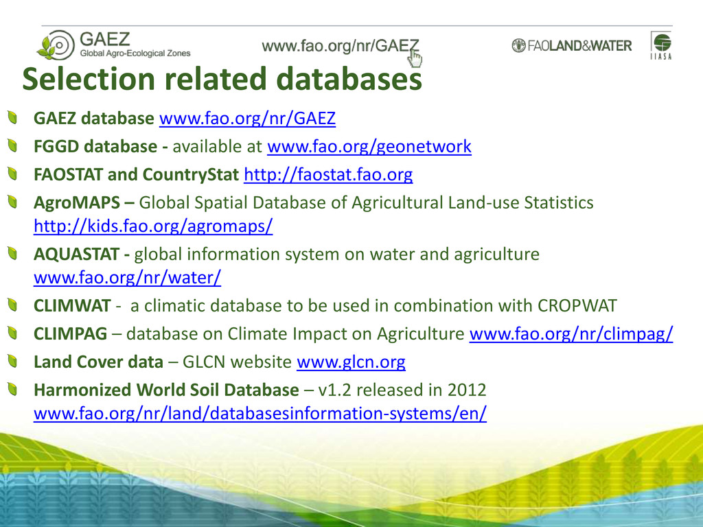
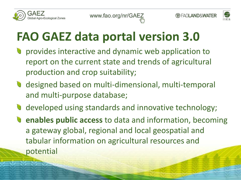
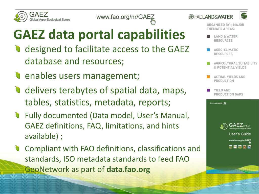
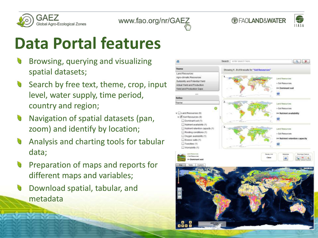
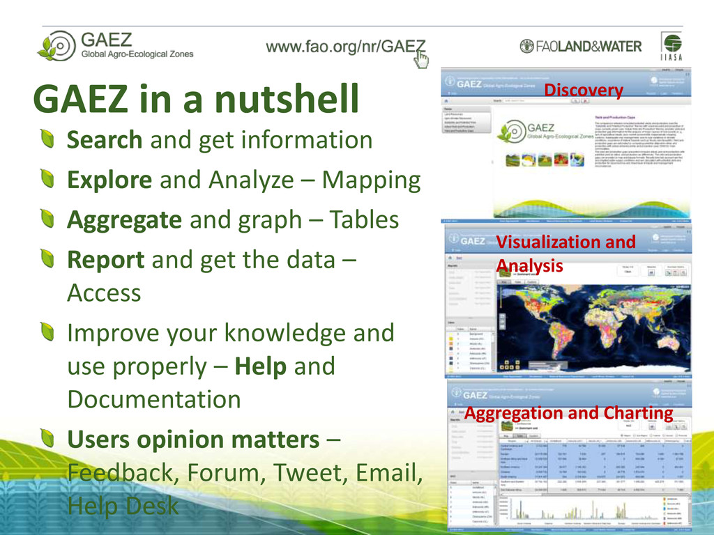
    GAEZ database and resources; enables users management; delivers terabytes of spatial data, maps, tables, statistics, metadata, reports; Fully documented (Data model, User’s Manual, GAEZ definitions, FAQ, limitations, and hints available) ; Compliant with FAO definitions, classifications and standards, ISO metadata standards to feed FAO GeoNetwork as part of data.fao.org
  9. Definitions, Metadata, Standards Why are they useful? What did you

    mean? Can I re-use it? 6 6 5 16 16 11 More than 10 Less than 10
  10. Data Portal features Browsing, querying and visualizing spatial datasets; Search

    by free text, theme, crop, input level, water supply, time period, country and region; Navigation of spatial datasets (pan, zoom) and identify by location; Analysis and charting tools for tabular data; Preparation of maps and reports for different maps and variables; Download spatial, tabular, and metadata
  11. GAEZ mapping interface Map title Metadata Map Units Download Map

    controls Map navigation Pan / Zoom Legend Map Info Content control
  12. GAEZ in a nutshell Search and get information Explore and

    Analyze – Mapping Aggregate and graph – Tables Report and get the data – Access Improve your knowledge and use properly – Help and Documentation Users opinion matters – Feedback, Forum, Tweet, Email, Help Desk Discovery Visualization and Analysis Aggregation and Charting
  13. GAEZ data users FAO technical departments Technical experts from Member

    countries International Research and Modeling Community, Academia 0 0.5 1 1.5 2 2.5 3 3.5 Jun-12 Jul-12 Aug-12 Sep-12 Oct-12 Nov-12 Dec-12 Jan-13 Feb-13 Mar-13 GAEZ data portal external use Bandwidth (GB) Jun-12 Jul-12 Aug-12 Sep-12 Oct-12 Nov-12 Dec-12 Jan-13 Feb-13 Mar-13
  14. Coming up! GLC-SHARE 2013 Beta-Release 1.0 Best available land cover

    database Use FAO SEEA LCML(*) legend 30 arc-second resolution 11 layers indicating the % share of each LC class Dominant land cover layer and quality score For each pixel global (overall class accuracy ~80%) Methodology and datasets will be published in 2013 Designed as a platform to facilitate crowd-sourcing Designed to be used for GAEZ 2010 update * ISO TC 211 – 19144-2 LMCL (Land Cover Meta Language)
  15. Next steps Update current GAEZ version 3.1 in 2013 Aggregate

    by Water Basis Aggregate by GAEZ Layer Geographic Filters: by Country Thematic Filters Climate change framework analysis; Upgrade GAEZ baselines to 2010 spatially and thematically Update AgroMaps up to 2011 (ongoing) Integrate GAEZ with AgroMaps (aiming at yearly sub-national statistics) Outreach and awareness raising continuously
  16. GAEZ consortium Preliminary discussions and agreement between FAO and IIASA;

    A number of potential partners support the initiative; Draft MoU CGAIR and FAO; Identification of areas for collaboration and opportunities; Aiming at strengthening the partnerships and response to a number of global issues; Enabling collaborations and partnerships from all; Facilitating access to information; Sharing our knowledge; Bringing our knowledge to the field.